Forecast for the Uintas Area Mountains

Trent Meisenheimer
Issued by Trent Meisenheimer on
Saturday morning, March 14, 2026

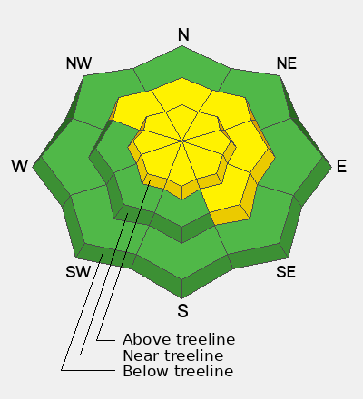
The avalanche danger today is MODERATE for both a persistent weak layer and wind-drifted snow. It remains possible to trigger a dangerous hard slab avalanche failing on buried faceted snow from January. The most suspect terrain is steep mid- and upper-elevation slopes facing the north half of the compass, especially rocky areas where the snowpack is thin. Any avalanche breaking into the facets could be large and destructive.

Strong winds will continue to drift snow into leeward terrain, creating fresh slabs that may be sensitive to a rider’s weight. Carefully evaluate the snow and terrain, and use safe travel practices by only exposing one person at a time in avalanche terrain. Human-triggered avalanches are possible.

Low
Moderate
Considerable
High
Extreme
Learn how to read the forecast here
Special Announcements

Spring Campaign and Spring Auction - Each spring, we ask for your continued financial support to fund our forecasting and education programs. We hope you will consider supporting our mission by checking out our campaign and auction, live and available HERE.

Weather and Snow

Mostly clear skies greet the mountains this morning. Temperatures are mild for March, ranging from 26 to 32°F. Overnight, west–southwest wind kept the ridgelines active, blowing 15–25 mph with gusts pushing into the 40s.

A potent storm passing to our north will brush the Uinta Mountains today, bringing increasing clouds and a sharp rise in wind speeds. Westerly winds will ramp up through the afternoon, shifting northwest and becoming quite strong along the ridgelines. By around dinnertime, wind speeds could approach 100 mph. Moisture with this system is limited, but if we’re lucky, we may squeeze out a trace to a few inches of new snow.

Recent Avalanches

The last reported avalanches occurred on Sunday, March 8. Both were hard slab avalanches that broke on a buried persistent weak layer of faceted snow. Be sure to check them out HERE and HERE.

Avalanche Problem #1
Persistent Weak Layer
Type
Location
Likelihood
Size
Description

The snowpack remains tricky. Weak, sugary facets that formed during the January drought are now buried under several feet of stronger, denser snow. That’s the classic strong-snow-over-weak-snow setup we worry about.

The challenge is that the usual red flags—collapsing or cracking—may not show themselves. In fact, you might even see a few sets of tracks on a slope before someone finally hits the wrong spot. The most likely trigger points are thinner parts of the slab, often around rocks, bushes, or other shallow areas. High marking is an easy way to hit one of those spots and could produce a large destructive avalanche.

This problem isn’t everywhere, but when you find it, it’s unpredictable and hard to manage. The safest approach is simple—avoid it. For now, steep, rocky slopes with shallow snow on the north half of the compass should continue to be off the list.

Photo: Showing the hard slab that was triggered last weekend on Duchesne Ridge.

Avalanche Problem #2
Wind Drifted Snow
Type
Location
Likelihood
Size
Description

With continued wind, expect shallow slabs of wind-drifted snow to form on leeward slopes and around terrain features like gullies, rock outcrops, sub-ridges, and mid-slope rollovers. These drifts often look like smooth, rounded pillows and may feel hollow under your sled, board, or skis. You can sometimes get well out onto them before they suddenly crack and release.

Remember that any avalanche triggered in the new wind-drifted snow has the potential to step down into buried weak layers in the snowpack, creating a much larger avalanche than expected.

Additional Information
Our Avalanche Rescue Training Park is set-up and located at the top of Wolf Creek Pass, SR-35, and is waiting for you to come take it for a spin! Open up the control unit, flip a few switches, and dial in your avalanche rescue skills with this roadside attraction!
More details about the WCP Beacon Park, here!
General Announcements

We have some upcoming classes and events that we'd be stoked to see you at -- Please reach out with any questions and check out below for more details!

We are always looking for snow and avalanche observations or just general riding conditions. Reach out to us with questions, concerns, or if you see anything in your travels! Contact us directly through the info below:

This forecast is from the U.S.D.A. Forest Service, which is solely responsible for its content. This forecast describes general avalanche conditions, and local variations always occur. This forecast was issued on Friday, March 13, at 7:00 AM and expires 24 hours after it was issued. We'll update this information by about 7:30 AM tomorrow.