Forecast for the Uintas Area Mountains

Craig Gordon
Issued by Craig Gordon on
Tuesday morning, January 20, 2026

From tip to tail and around the compass, the avalanche danger is generally LOW and human triggered avalanches are UNLIKELY.

Remember... LOW danger doesn't mean Blindly Go danger, and there might be a rogue, fresh drift or two reactive to our additional weight, especially in big, open alpine terrain. I often remind myself the Uinta's are a big place, so I gather snowpack intel throughout the day to help make solid decisions, especially if my travels take me onto sustained, steep, committing slopes.

Low
Moderate
Considerable
High
Extreme
Learn how to read the forecast here
Weather and Snow

Nowcast - High pressure homesteading over the western US delivers clear skies with current temperatures hovering in the upper teens °F. Winds blowing from the west ramped up overnight and currently spin remote weather station anemometer propellers in the 20's and 30's mph near the high peaks.

Forecast - Expect sunny skies and high temperatures climbing into the low and mid 30's °F. Winds blowing from the west remain in the reasonable category until around dinnertime when they ramp into the 40's and switch to the northwest. Overnight low dips into the teens.

Futurecast - We appreciate your call, but the winter weather department has stepped away from its desk and for efficiency sake, forwarded all inquiries. So, look for the winter tanning trend continuing through the work week... sunshine and mild temperatures. The end of the week storm is looking like more like a non-event with a return to high pressure bringing us into the third week of January.

Travel Conditions - Supportable snow depths across the range register in the 1'-4' category above 9,000'. Below that, and on many solar aspects, the pack is thin or even non-existent, and access is a challenging mixed bag of patience and perseverance... with a little suffer-fest thrown in to keep ya honest. Powder is becoming an elusive, unicorn-esque commodity and takes a little homework to score. For the best riding, I'm gunnin' for mid and upper elevation, wind sheltered, polar terrain.

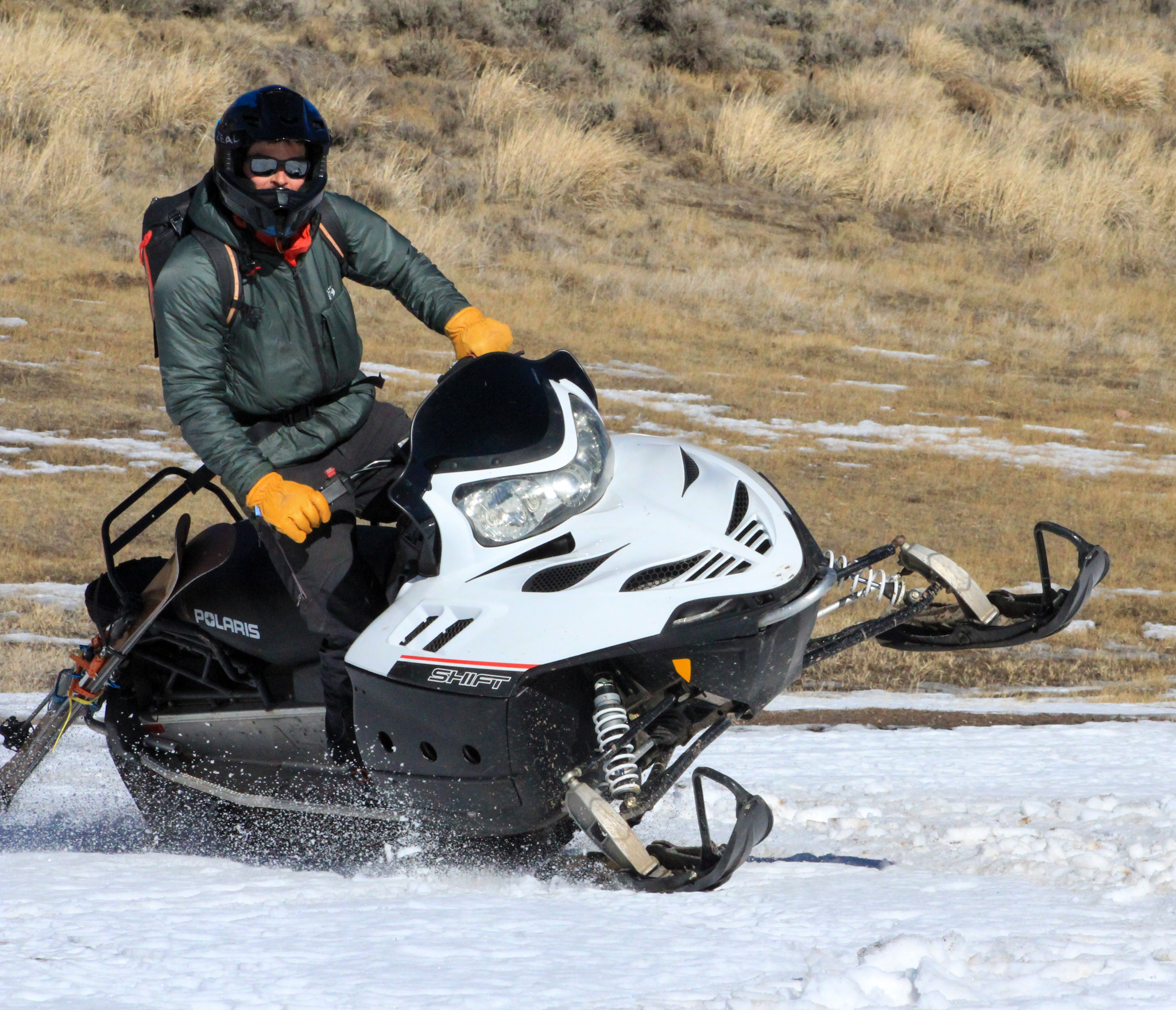
Mid-January sure is looking a bit like March out there on the South Slope near Hannah. Low elevations have taken a hard hit over that past week making travel downright industrial in some areas.

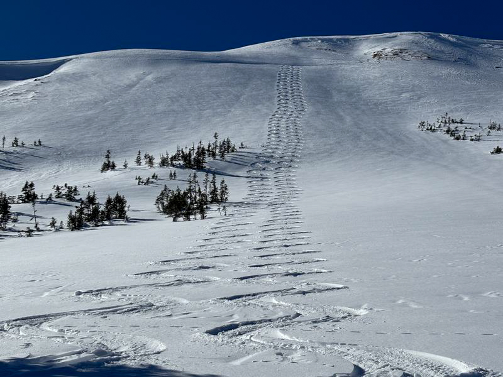
Meanwhile, over the weekend on the North Slope, Ted and I did the north-slope two step, dancing into open season with the mindset of, " feeling very comfortable stepping into big terrain because we've been tracking the snowpack all season, and avoided any terrain where we could trigger even a small avalanche". See more from our travels, here.

Recent Avalanches

There have been no significant avalanches reported from across the range in over a week.

Avalanche Problem #1
Wind Drifted Snow
Type
Location
Likelihood
Size
Description

Above, a 24 hour wind run from Lofty Lake Peak (11,186") illustrating a slight bump in overnight winds near the high peaks.

Winds ramped up slightly overnight and there may be a fresh drift or two reactive to our additional weight. Limited to alpine terrain, in the windzone above treeline, this is an easy avalanche dragon to manage and avoid. Simply look for and steer clear of fat, rounded pillows of snow, especially if they sound hollow like a drum.

Avalanche Problem #2
Persistent Weak Layer
Type
Location
Likelihood
Size
Description

We haven't heard of or noted avalanches breaking to our persistent weak layers in over a week, but we do still have some strucurally challenged snow hanging around in steep, rocky terrain on the north half of the compass. And even though the snowpack is beginning to relax and the likelihood of triggering a deep, dangerous avalanche is decreasing, we gotta be on our game. Remember... all we need to do is find a thin portion of the snowpack like around a rock or bush where the snowpack is more susceptible to our weight. Here, we are able collapse the slope (whumpf), trigger the avalanche, and now we're staring down the barrel of a bigger avalanche than we bargained for. Although the chance of triggering a big slide is unlikely, I'm still avoiding steep, rocky slopes, with a shallow, weak snowpack.

General Announcements

We have some upcoming classes and events that we'd be stoked to see you at -- Please reach out with any questions and check out below for more details!

We are always looking for snow and avalanche observations or just general riding conditions. Reach out to us with questions, concerns, or if you see anything in your travels! Contact us directly through the info below:

This forecast is from the U.S.D.A. Forest Service, which is solely responsible for its content. This forecast describes general avalanche conditions, and local variations always occur. This forecast was issued on Tuesday, January 20th at 0330 AM and expires 24 hours after it was issued. We'll update this information by 07:00 AM tomorrow