Nowcast - New day, same deal. 0500 AM temperatures register in the low teens °F from trailheads at 8,000' up to the high peaks. The difference is the wind, at upper elevations windchill values reach the single digits as a cold breeze blows from the the north averaging in 10 MPH, but gusting into the mid 20's.
Forecast - Today will be slightly cooler than yesterday with a high of 30 °F. It will be slightly breezy in the windzone and upper elevations, as winds continue to blow from the north and are light with moderate gusts into the 20's.
Futurecast - The trend continues through the working week, sunshine and mild temperatures. But stay tuned and stay hopeful, we could see a small shift in things come this Saturday.
Travel Conditions - Snow depths across the range are 1-4' above 9,000' and supportable. Below that, and on many southerly elevations, the pack is thin. Access is challenging, and the snowpack has lost any integrity and resilience to the elements it once had. In many areas on the north half of the compass the pack has faceted in its top 1', and is quickly becoming unsupportable. On the sunny's, there is a mixed bag of crusts and powder is hard to find. For the best riding, I am shooting for upper elevation, north facing terrain that is not steep or rocky, has good coverage and is well protected from the elements.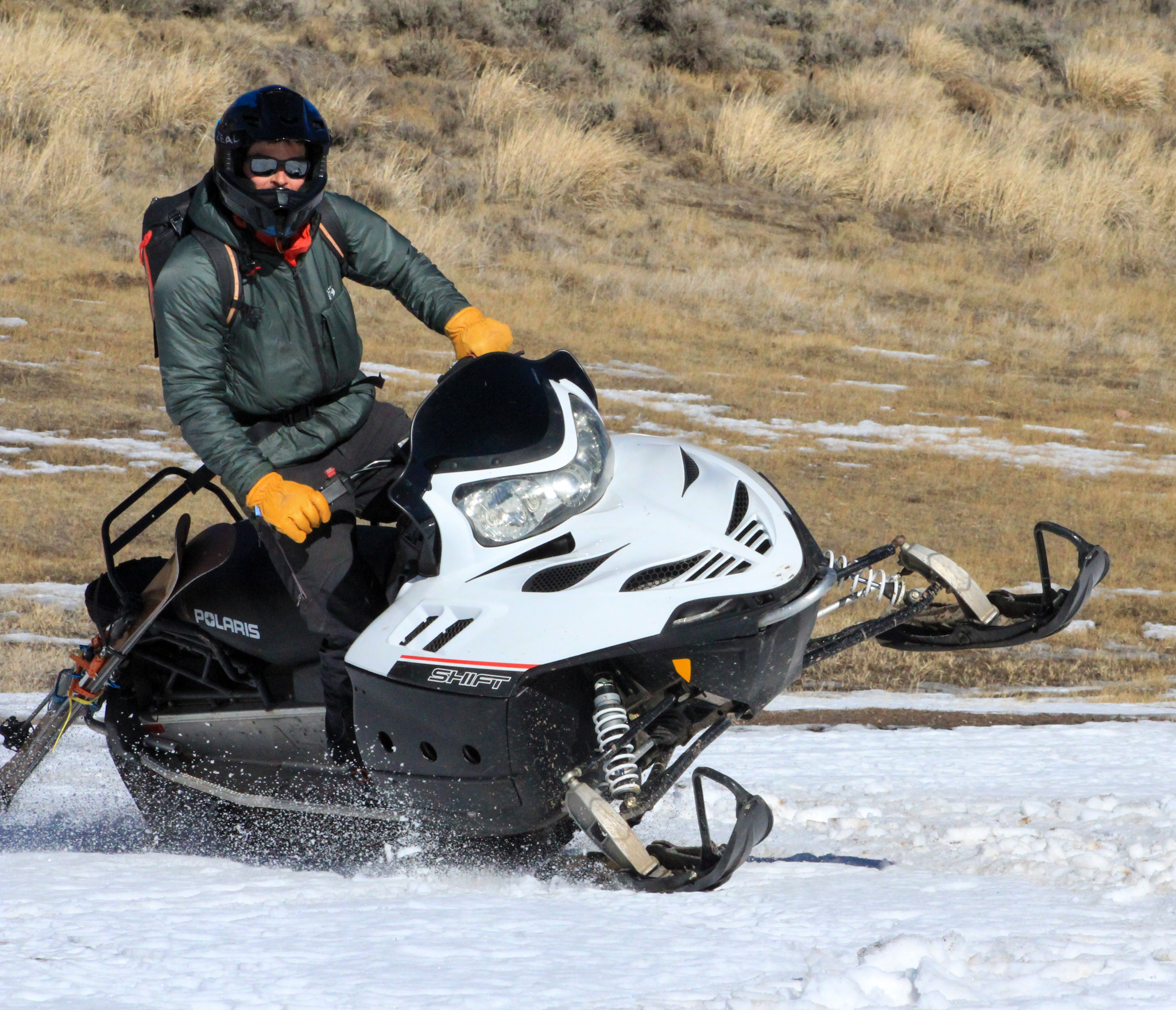
Mid-January sure is looking a bit like March out there on the South Slope near Hannah. Low elevations have taken a hard hit over that past week making travel downright industrial in some areas.
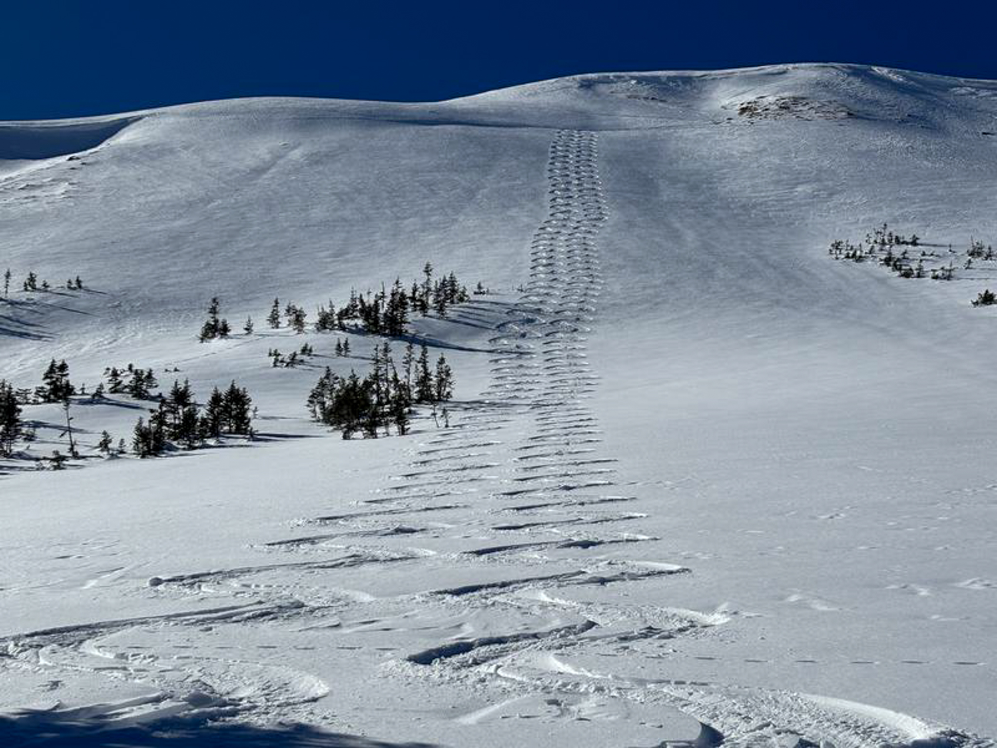 On the North Slope, Craig and Ted were stepping-out yesterday and shared, " Ted and I felt very comfortable stepping into big terrain because we've been tracking the snowpack all season, and avoided any terrain where we could trigger even a small avalanche". See more from their great trip report, here.
There have been no avalanches reported from across the range in the past 24 hours.


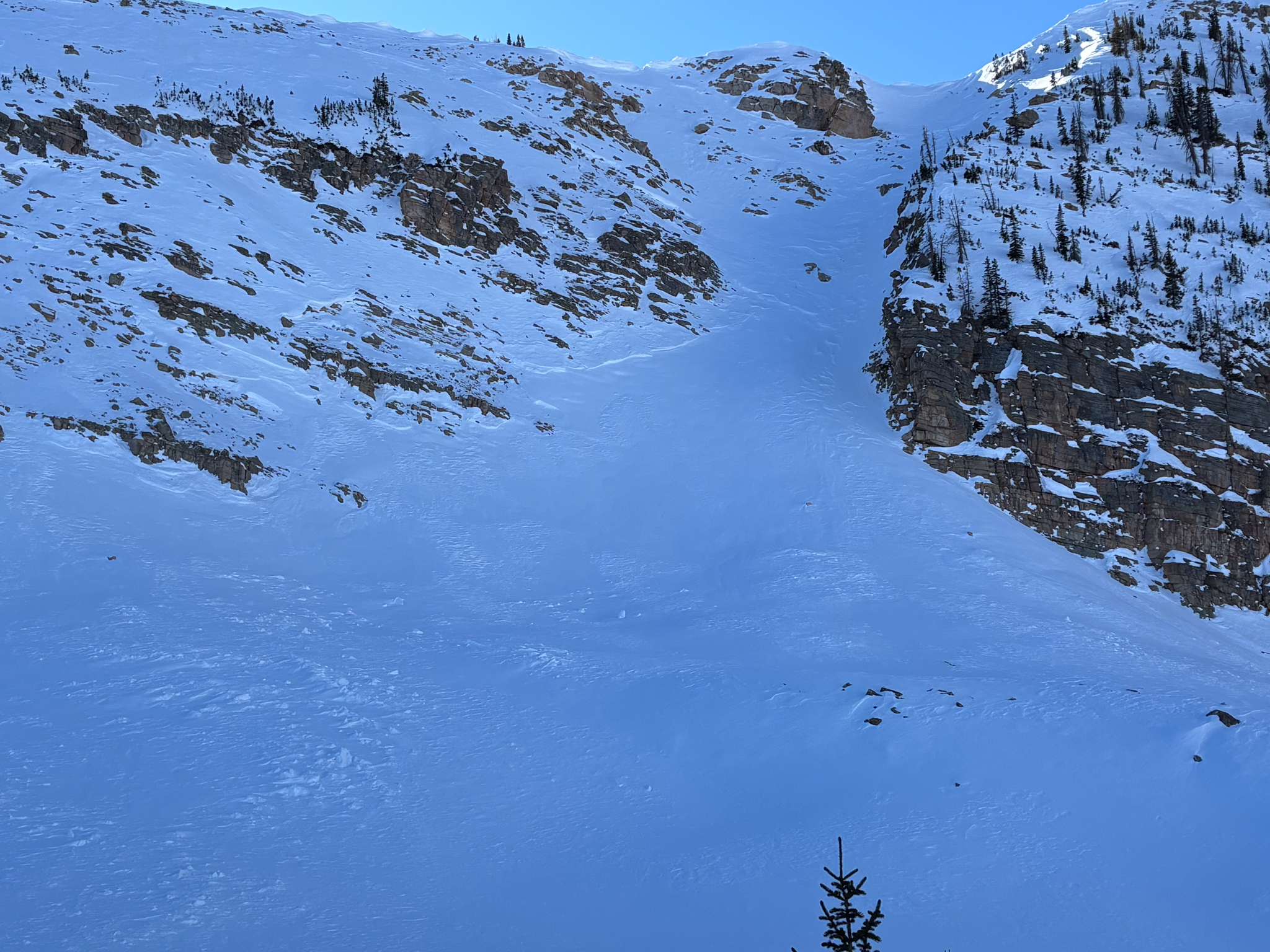 Near Anchor Peak, a medium-sized avalanche was observed and most likely occurred a few weeks ago after our most recent round of storms.
 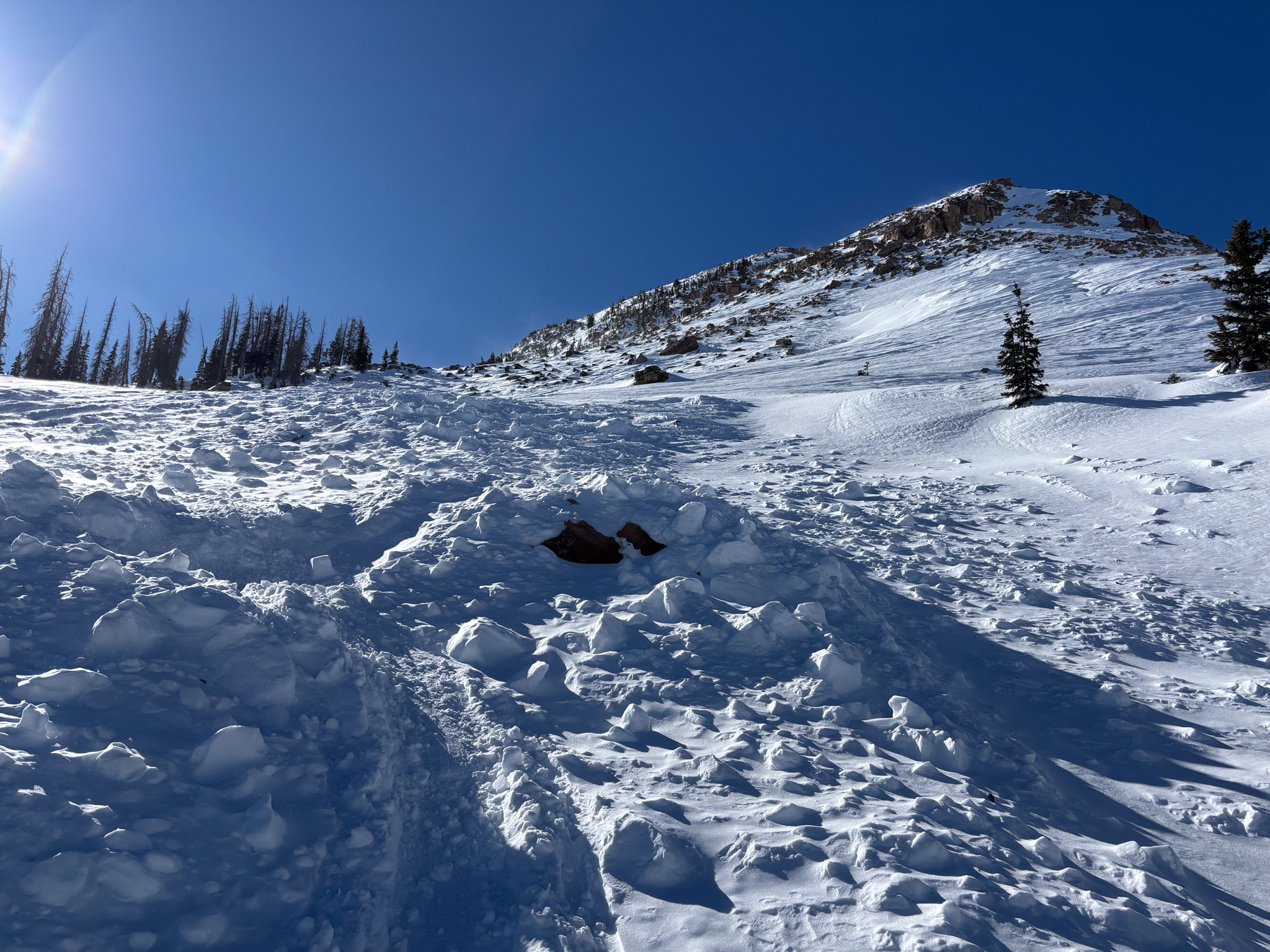 The scene of a snowmobile triggered avalanche from last week near The Cone at 11,000'. Details, along with a few snowmobile sized holes from the debris pile show that it could have been a close call, but first-hand information is sparse.


