Nowcast - At o'dark thirty, high clouds and cooler air meander through the Uinta zone. Temperatures are largely uniform, registering in the low 20's °F while winds blowing from the northwest hum along in the 20 mph range near the high peaks.
Forecast - Look for partly cloudy skies with high temperatures hovering in the low to mid 30's °F. Winds blowing from the northwest bump into the 30's early this morning, before tapering off as the day wares on. Overnight lows dip into the teens.
Futurecast - Rinse and repeat weather until late Friday when it looks like storminess slides into the Beehive State. Unfortunately, this system needs a little desert time and has its sights set on the southern half of the state. A return to high, dry, clear, and cool to wrap up the last week of January.
Travel Conditions - Supportable snow depths across the range step onto the scales in the flyweight category with just 1'-4' of settled snow above 9,000'. Below that, and on many solar aspects, the pack is thin or even non-existent, and access is a challenging mixed bag of patience and perseverance... with a little suffer-fest thrown in to keep ya honest.
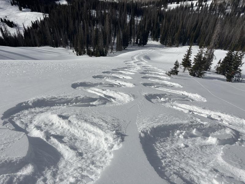
Ted and I stomped around in the east Moffit cul de sac yesterday and found cold, recycled powder on upper elevation, wind sheltered, polar terrain. Disclaimer... powder is becoming an elusive, unicorn-esque commodity and takes a little homework to score.
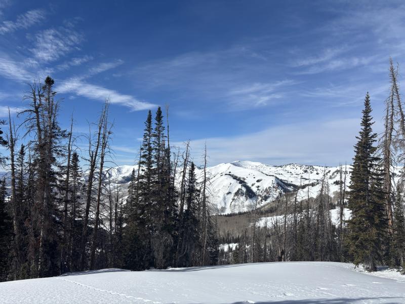
I know you came for the snow, but I have a room with a view from the shoulder of Moffit Peak looking into Weber Canyon.
There have been no significant avalanches reported from across the range in over a week.