Forecast for the Moab Area Mountains

Issued by Eric Trenbeath on
Monday morning, February 23, 2026
Monday morning, February 23, 2026
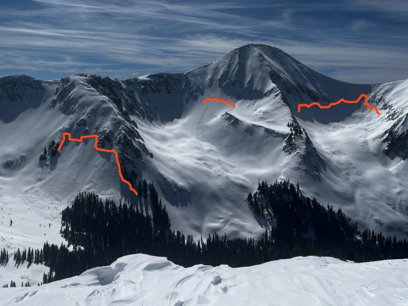
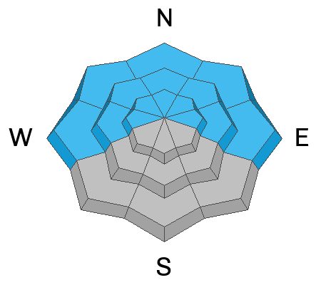
The avalanche danger is CONSIDERABLE on all steep slopes facing west through north through east and human triggered avalanches are likely. The danger increases with elevation where strong winds have built thick hard slabs over top of buried persistent weak layers. The bullseye zone is on slopes at and above treeline that face N-NE-E. In these areas, deep and dangerous, human triggered avalanches 2-4 feet deep are likely. Avoid all steep slopes facing the north half of the compass today.
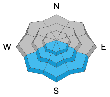
We may see a MODERATE avalanche danger develop on steep sun exposed slopes as the day heats up. Signs of instability include roller balls, pinwheels, and sloppy wet snow. Stay off of and out from under steep slopes if these signs are present.
Low
Moderate
Considerable
High
Extreme
Learn how to read the forecast here


