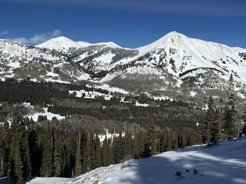
Forecast for the Moab Area Mountains

Eric Trenbeath
Issued by Eric Trenbeath on
Thursday morning, January 8, 2026

Be alert to changing conditions and a potential rise in avalanche danger as new and wind drifted snow accumulate today.

The avalanche danger remains MODERATE but it will likely increase a bit later today. I do not expect the danger to reach considerable, but be on the lookout for fresh deposits of wind drifted snow, primarily on slopes above tree line that face NW-N-NE-E-SE. Suspect steep slopes that have a smooth, rounded appearance, or more than about 8 inches of new snow. Cracking is a sign of instability.

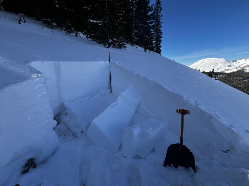
Deeper and more dangerous avalanches involving a persistent weak layer are possible near tree line and above on slopes facing NW-N-NE-E. The only way to truly avoid this problem is to avoid slopes steeper than 30 degrees.

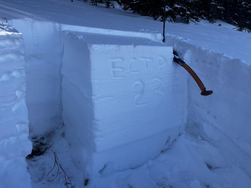
Conditions remain very thin, and hazards such as rocks and logs are thinly covered.

Low
Moderate
Considerable
High
Extreme
Learn how to read the forecast here
Special Announcements

Geyser Pass Road Conditions: The road has melted out to the dirt on the lower end. Above about Trans La Sal it is snowpacked, icy, and slick. The parking lot is a mess. All wheel drive and good tires are required.

Grooming: LUNA last groomed all trails from Gold Basin through Geyser Pass with classic track on Tuesday. A fresh coat of snow will cover them today.

We are looking to reschedule our Moab Backcountry 101 Class to February 20, 21 in the hopes that we will have more snow. Click here for information and registration. Moab and Monticello locals can use the discount code MOAB-LOCAL for a 10% discount.

Weather and Snow

24 Hour Snow: 2" 72 Hour Snow: 2" Season Total Snow: 34" Depth at Gold Basin: 22"

Winds on Pre-Laurel Peak: WNW 10-15 Temp: 21° F

Weather

The first wave of a storm with many parts has moved through giving as a couple inches of new snow. We should see a little lull in the action before the next wave moves through late morning or early afternoon followed by a more defined cold front. Snow totals have been hard to pinpoint but NWS has added us to their Winter Winter Advisory with 6-10 inches possible by tonight. I must admit, I'll be surprised but pleased if we see that much. Winds today will shift to the northwest but they won't be too out of hand, that comes tomorrow, and high temperatures at 10,000 feet will be in the low 20's. The passage of the cold front this afternoon will cause temperatures to plummet into the single digits overnight, and tomorrow will be frigid with clearing skies and blustery northwest winds.

General Conditions

Conditions have held up pretty well this week and we should see a nice refresh out of this storm. Keep an eye out for fresh wind drifts. I took a trip over to the east side of Geyser Pass on Tuesday to have a look at the snowpack. On shady slopes, snow depths range from about 20 inches at 10,000 feet to up to 3 feet or more at upper elevations. Southerly aspects were mostly bare prior to the New Year's storm but thanks to the high snow density they remain mostly covered. Snowpack structure remains poor with plenty of weak, faceted snow beneath the Christmas rain crust.

South facing terrain still holding snow. Mount Tomaski on the right, Mann's Peak above Burro Pass on the left.

Snowpack and Weather Data

Gold Basin SNOTEL site (10,000')
SNOTEL site near Geyser Pass Winter Trailhead (9600')
Wind Station on Pre-Laurel Peak (11,400')
NWS forecast for the La Sal Mountains.
Recent Avalanches
No recent activity has been observed. Click here for the complete avalanche database.
Avalanche Problem #1
Persistent Weak Layer
Type
Location
Likelihood
Size
Description

Poor snowpack structure exists on all slopes facing the north half of the compass. In these areas the entire snowpack is loose, weak, and faceted beneath the Christmas rain crust. Red flags such as collapsing and whumphing are not widespread but they are occurring. In spite of the poor structure, we've had surprisingly non-reactive test results. In my travels on Tuesday, however, I was able to produce a score of ECTP23 in an extended column test on a NE aspect right around tree line at 11,000'. On Sunday, Chris and Morgan Orozco produced a score of ECTP7 in an extended column test also on NE aspect. Read their complete observation here. These are clear indications that it is possible to trigger an avalanche on a buried persistent weak layer.

The likelihood of triggering an avalanche largely depends on the strength and thickness of the rain crust in various locations. If you are into splitting hairs, the most likely areas to find trouble are right around tree line, in places where the rain crust is very thin. Personally, I'm just not willing to trust the strength of the crust with my life and I'll be avoiding northerly aspects steeper than 30 degrees for awhile.

Results of my extended column test yesterday. Note the thickness of the slab failing on deeply buried facets near the ground. An avalanche of this size and depth would be very dangerous.

Avalanche Problem #2
Wind Drifted Snow
Type
Location
Likelihood
Size
Description
Be on the lookout for fresh deposits of wind drifted snow today. You are most likely to encounter this problem on steep slopes above tree line that face NW-N-NE-E. Look for fresh deposits on the leeward sides of ridge crests and terrain features and avoid steep slopes that have more than about 8 inches of new snow. Wind drifted areas often have a smooth, rounded appearance and cracking is a sign of instability.
Additional Information
General Announcements
This forecast is from the U.S.D.A. Forest Service, which is solely responsible for its content. This forecast describes general avalanche conditions and local variations always occur.