Forecast for the Uintas Area Mountains

Andrew Nassetta
Issued by Andrew Nassetta on
Thursday morning, April 2, 2026

Strong winds and new snow collude producing CONSIDERABLE avalanche danger in the windzone at upper elevations where human-triggered avalanches are LIKELY, breaking 1-2' deep in steep, wind-loaded, leeward terrain.

Today, my uncertainty has me avoiding the windzone and pitching towards simpler terrain where all I have to do manage my travel and the new snow.

Low
Moderate
Considerable
High
Extreme
Learn how to read the forecast here
Special Announcements

Researchers Ian McCammon and Sara Boilen are developing new tools for managing human factors for backcountry skiers and boarders. This survey asks about personal experiences with human factors and will take 7 - 8 minutes to fill out. Link is HERE.

Weather and Snow

Nowcast - Since the start of this storm, the range received 6-12" of snow with over 1" of SWE, one of the bigger storms we have received this season. Right now, winds blowing from the southwest crank out 30 MPH averages gusting into the 50's. Temperatures are mild, in the 20's°F at 10,000' but reporting much warmer down low at trailheads, closer to 35°F.

Forecast - For today, expect an additional 3-6" of dense snow to stack up by the late afternoon. Winds continue to rip across the range blowing n the 30's and 40's with gusts approaching 60 MPH. Temperatures cool throughout the day into overnight and we will see freezing levels reach the valley by tomorrow.

Futurecast - Once this storms rounds out and exits town Friday, we are back up and running with high-pressure into next week.

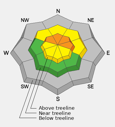
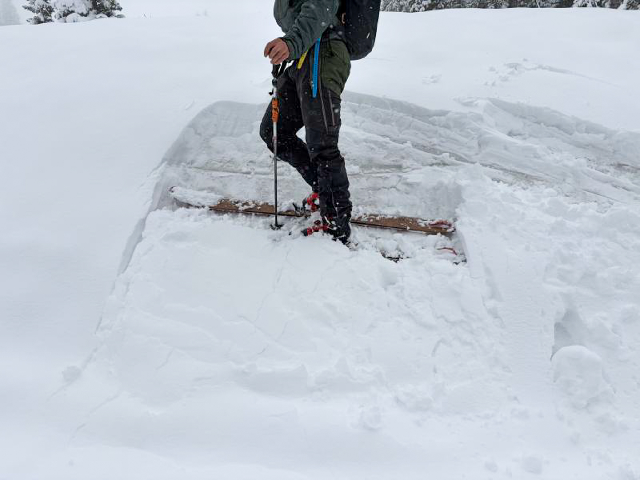
Travel Conditions - I wouldn't go as far as to say we are back yet, but conditions are improving! A nice round of dense snow has certainly improved conditions. Skiing and riding is best on the north half of the compass, where old supportable snow prevents us from hitting escaped rocks, shrubs, and exposed terrestrial features from the melt-out. On the sunnies, many slopes were patchy and bare up to 10,000' prior to this storm, and leave little chance for potential riding. Smooth, moderate slope angles are the ticket whether you are on the the sticks or the rig.

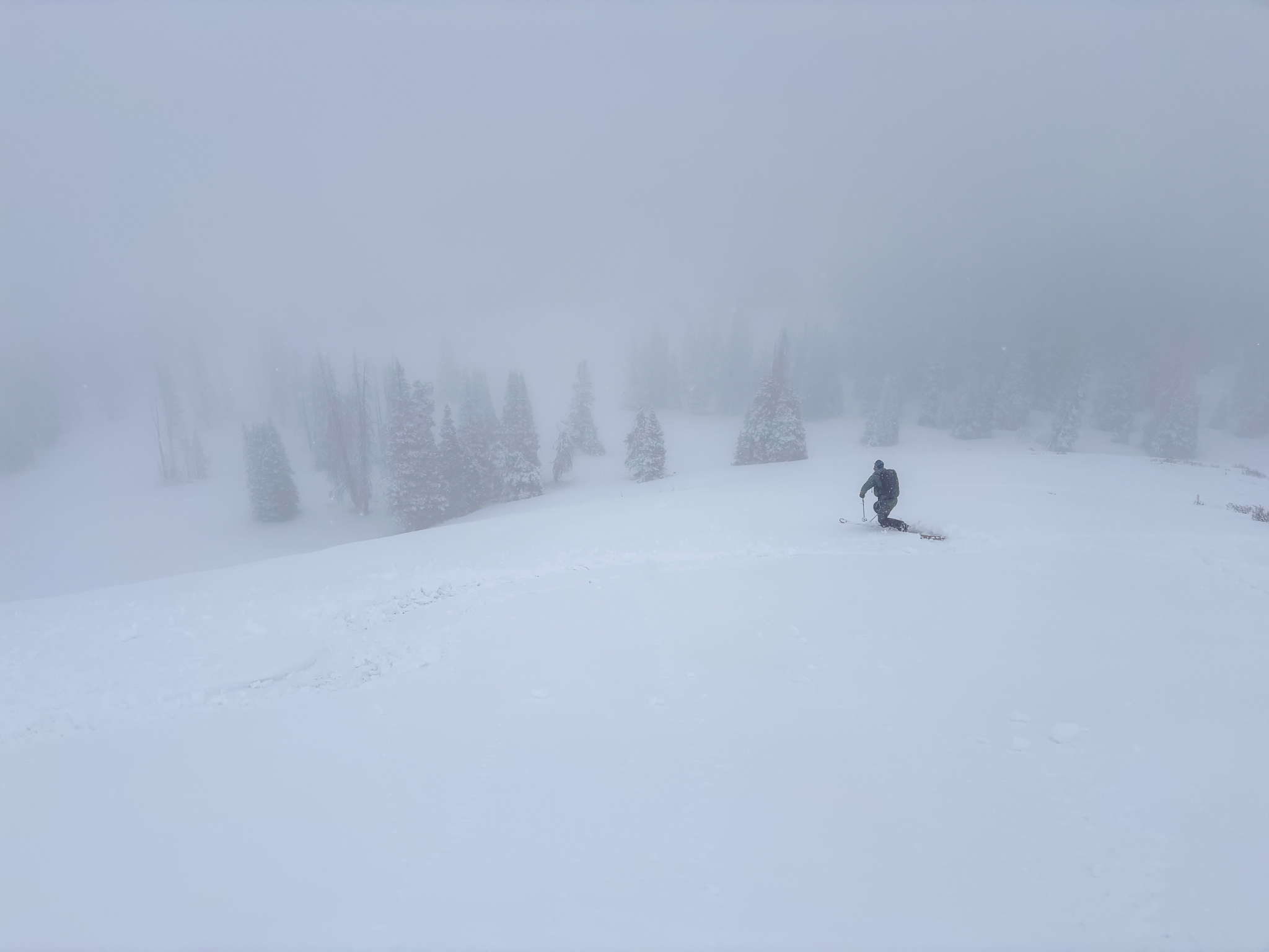
Bottom-feeding was the name of the game yesterday and dense surf in the soup-bowl was better than no soup at all! Check-out more from our travel ob, found here!

Recent Avalanches

No new avalanche activity has been reported from across the range in the past 24 hours.

Avalanche Problem #1
Wind Drifted Snow
Type
Location
Likelihood
Size
Description

Strong winds blowing from the south southwest averaging 30 MPH and gusting into the 50's are loading leeward slopes facing northwest through southeast. Sitting atop new snow in many places, today's wind-drifts can break 1-2' deep and run further and faster on a firm bed surface than you might expect.I am uncertain about how sensitive today's drifts will be, and thats what I am building in margin for throughout my travels.

For today, I am steering clear of slopes that are steeper than 35°, are rocky and show clues of wind-loading. When traveling, those clues I am looking for are rounded pillows and textured surfaces off of ridgelines and specific terrain features like cut-banks, gullies and mid-slope rollovers where drifts typically form.

Avalanche Problem #2
New Snow
Type
Location
Likelihood
Size
Description

Storm snow had more slouch than snap yesterday, but as it continues to stack up today keep an eye on its behavior and interactions with the old snow surfaces.

This storm rolled in wet and warm. And the new snow seemed well bonded yesterday to a variety of old snow surfaces. As it continues to stack up today, with another 3-6" on the way, I am going to keep an eye on how it's reacting to my additional weight. As well as keep my eyes peeled for any red flags or obvious signs of instability. For me, with an avalanche problem like this, It is helpful to use hasty, on-the-fly tests and find small, non-consequential slopes to stomp around on and gain intel.

General Announcements

We are always looking for snow and avalanche observations or just general riding conditions. Reach out to us with questions, concerns, or if you see anything in your travels! Contact us directly through the info below:

Craig Gordong | [email protected] | 801-231-2170

This forecast is from the U.S.D.A. Forest Service, which is solely responsible for its content. This forecast describes general avalanche conditions, and local variations always occur. This forecast was issued on April, 02 at 06:30 and expires 24 hours after it was issued. We'll update this information by about 7:00 AM tomorrow.