Forecast for the Uintas Area Mountains

Issued by Andrew Nassetta on
Monday morning, March 16, 2026
Monday morning, March 16, 2026
MODERATE avalanche danger exists at and above treeline in steep, rocky and complex terrain facing northwest through east where large, human-triggered avalanches are POSSIBLE. Recent slides breaking hundreds of feet wide and failing into faceted snow remind us that it's still game on in the high country.
Don't let the danger rose fool you -- Although the likelihood of triggering a large slide as a rider is decreasing the potential consequences remain severe if we do.

Low
Moderate
Considerable
High
Extreme
Learn how to read the forecast here
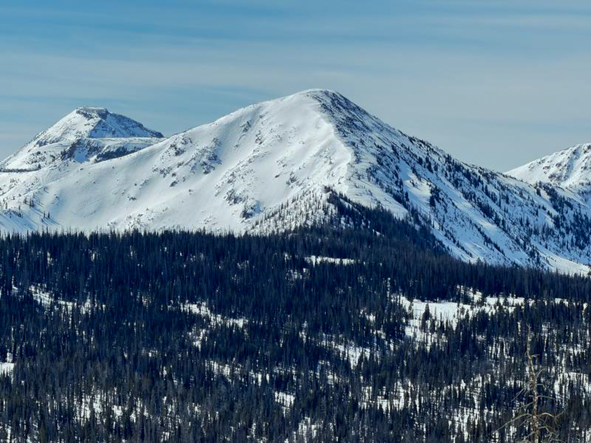 Looking into the Central Mountains and High Uintas, Chris Brown snapped this photo throughout his travels showing that it's very winter-esque still as you gain elevation into the core of the range. See more from his travels and awesome write-up found,
 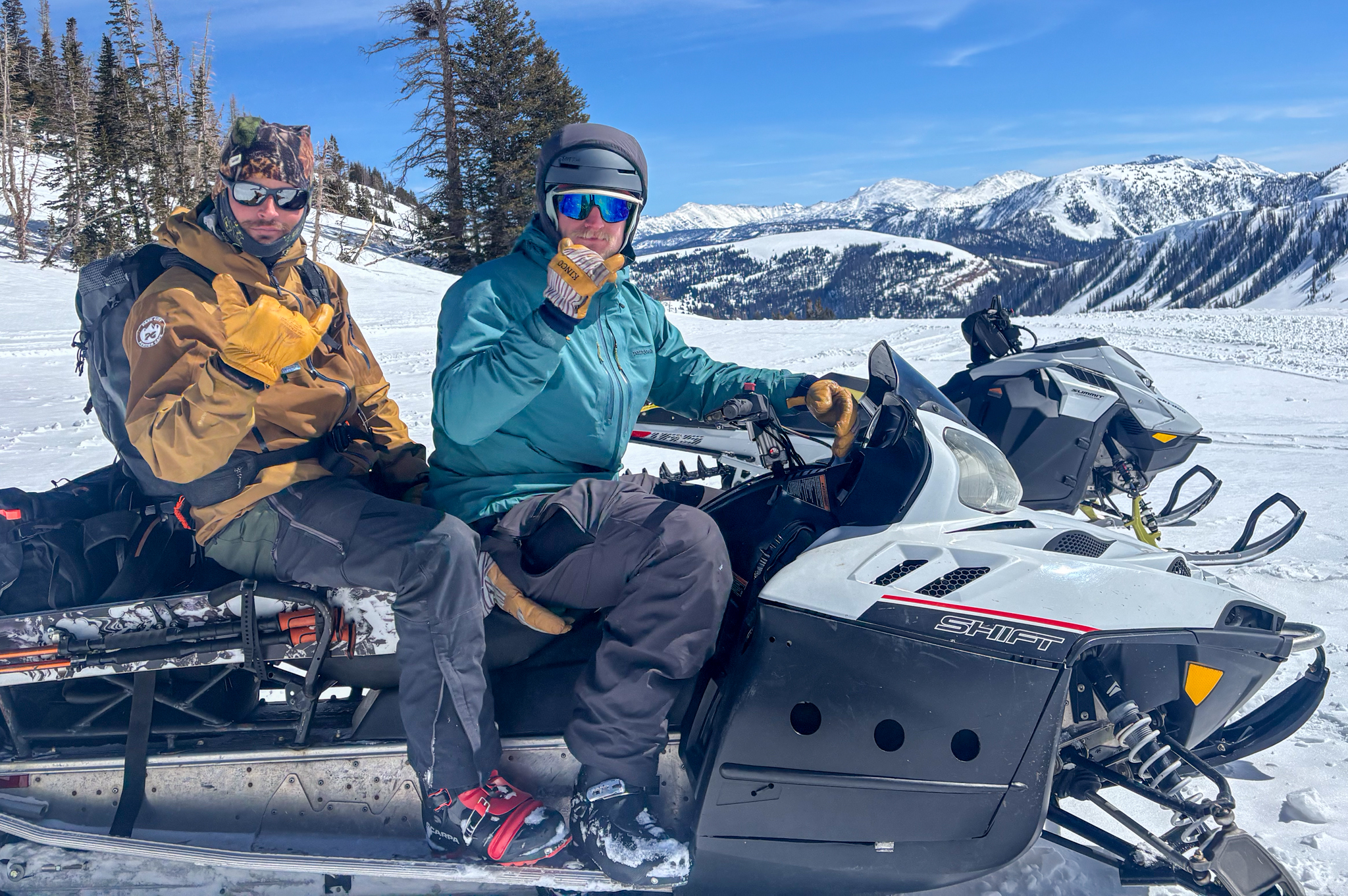 On my way to the North Slope yesterday I ran into two of the Uinta's most-wanted Pro Observers. After a few hours of separately hunting some skiing and searching for some boondocking, we agreed that "It ain't that good out here, but it ain't that bad" and that it's always a treat to be out in the hills.
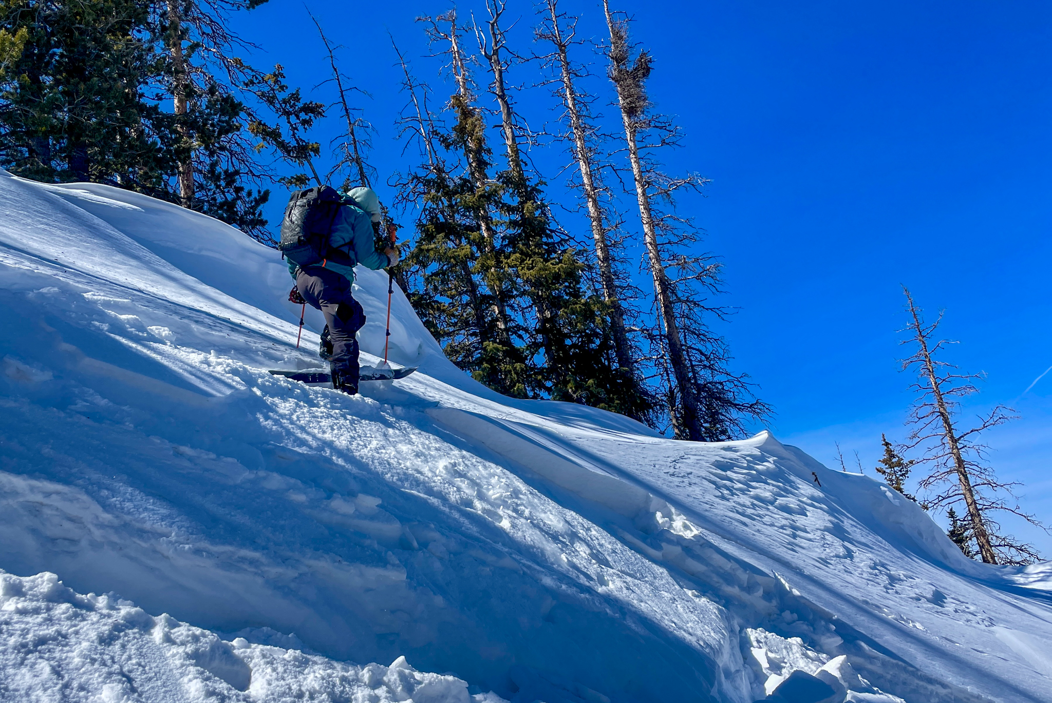 A small wind-drift that broke out with the additional weight of a skier. This was on a northerly facing slope above 10,500', very small, and speaks to our wind-drifted snow problem finally settling out after a week of strong and extreme winds (via T.Katz).
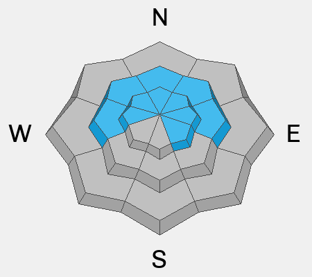
 Near Deadman Pass, observed by Chris B and John M, this slide broke nearly 1,000' wide on a steep, rocky and complex slope. This avalanche most likely occurred naturally during a spike in wind this past week. Find more information,
 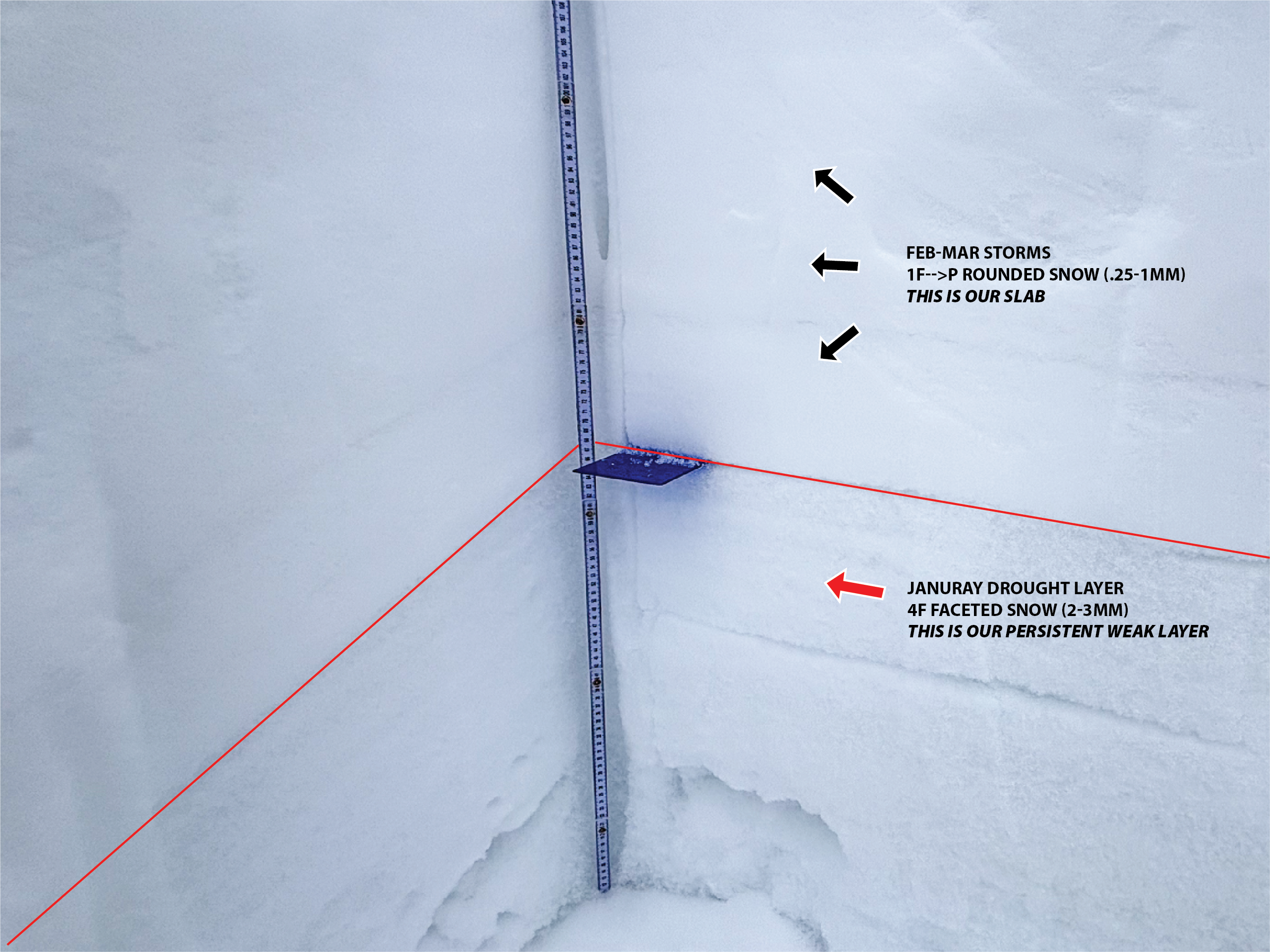 On a north facing slope near 11,000' you can see a cohesive slab sitting over our weak, sugary, facets that have been the culprit of recent human-triggered and natural avalanches. With this weeks historical warm-up, our facets are going to get a historical test and things could get interesting.


