Forecast for the Uintas Area Mountains

Andrew Nassetta
Issued by Andrew Nassetta on
Sunday morning, February 1, 2026

Today, MODERATE avalanche danger exists in upper elevation, alpine terrain facing northwest through southeast where human triggered hard-slab avalanches are POSSIBLE breaking up to a foot deep, and failing into faced snow near the surface.

I am steering clear of the windzone today where this problem exists and seeking protected, recycled powder on north facing slopes at upper elevations.

Low
Moderate
Considerable
High
Extreme
Learn how to read the forecast here
Weather and Snow

Nowcast - Blue moonlight and mostly clear skies start off the morning with slightly inverted temperatures at 10,000' approaching 30°F and trailheads sitting in the low 20's. Winds are light as of 0500 AM, blowing from the west between 10-15 MPH, and accompanied by moderate gusts into the 20's.

Forecast - Another sip of sunshine is on tap for today, with mostly clear skies and a high near 35°F. Winds blowing from the west keep at it moving between 10-20 MPH along the high peaks and ridges, but overall the day should feel pretty calm out there.

Futurecast - No big news from the weather world. Same story, different month. Our next shot for significant precipitation will come closer towards the 9th/10th of February.

Travel Conditions - Although it looks grim from first sight out there the Uinta's are performing closer to average this season than one may like to admit. Snow depths vary from 1-3' across the range, but it could be tough to believe until you get above 9,500'. In general, protected polars are riding well and thanks to our Christmas Eve Rain Crust, we are staying off the ground and travel is still good and supportable in most areas. But remember, anything exposed to the wind, sun and elements for the past week has had its day, and is a combo of wind-press, pack and jack that lacks any attractive riding quality.

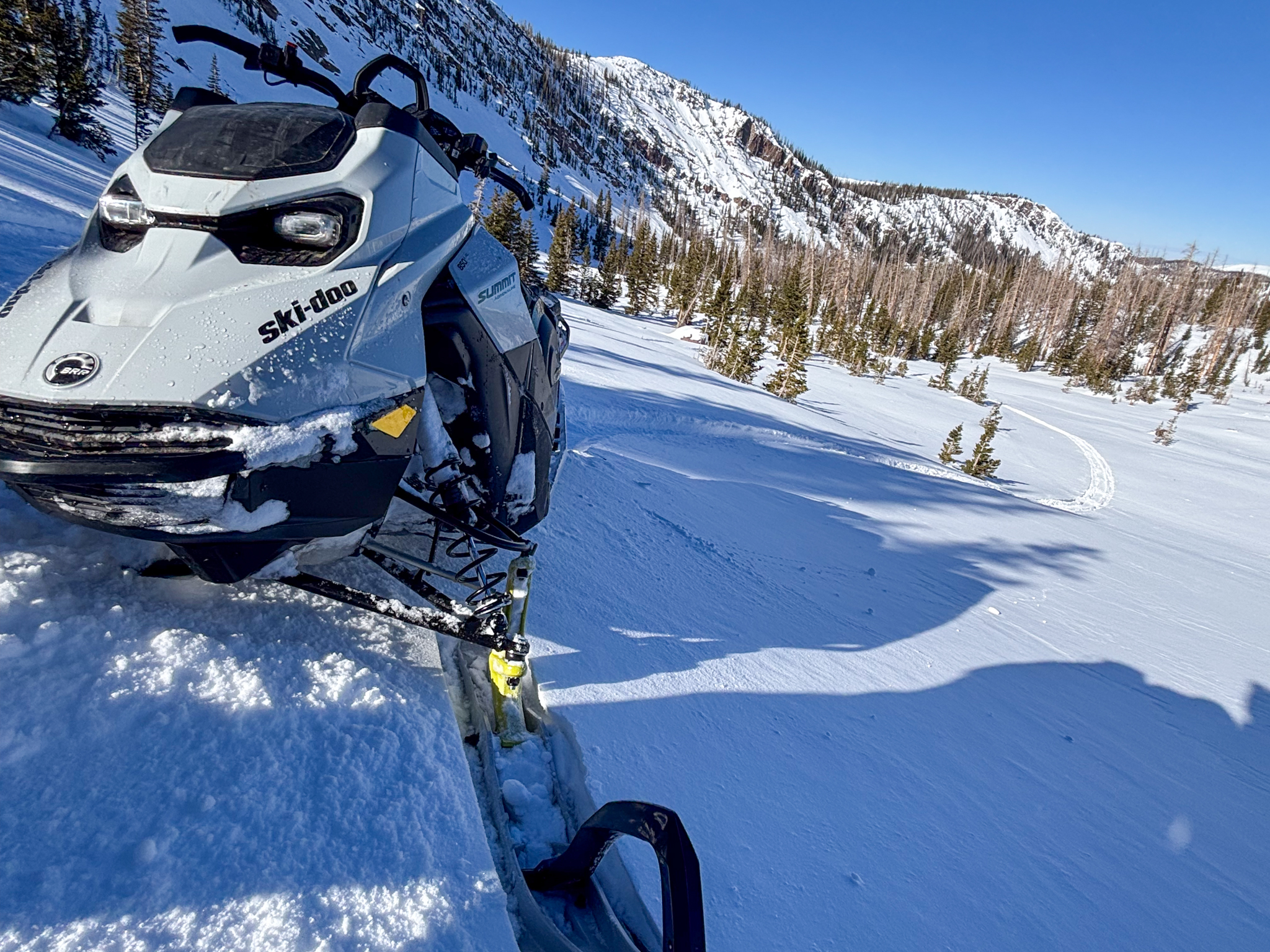
At treeline near 10,000', protected, polar slopes continue to ride the best and are a the go to place to confidently get the RPM's up.

Recent Avalanches
Avalanche Problem #1
Persistent Weak Layer
Type
Location
Likelihood
Size
Description

Over the past few weeks winds blowing from the west pressed stiff, hard slabs together that feel solid under our ride, yet sit atop a sugary layer of faceted snow that formed over the recent stretch of high pressure. In specific places above treeline, on steep and rocky slopes with an easterly component, these slabs live on faceted snow are reacting to our additional weight well after they originally formed -- This is why we have transitioned our wind-drifted snow problem to a persistent weak layer. I bet it will be difficult to trigger an avalanche today, but if you're getting after it on sustained, steep terrain in the alpine, remember even a small slide in consequential terrain could turn nasty quickly if it strains me through trees, rocks, or over cliffs.

Fortunately, we can avoid this problem by seeking wind sheltered terrain out of the alpine where you'll be greeted with less avalanche danger and protected, cold, recycled powder.

General Announcements

We have some upcoming classes and events that we'd be stoked to see you at -- Please reach out with any questions and check out below for more details!

We are always looking for snow and avalanche observations or just general riding conditions. Reach out to us with questions, concerns, or if you see anything in your travels! Contact us directly through the info below:

This forecast is from the U.S.D.A. Forest Service, which is solely responsible for its content. This forecast describes general avalanche conditions, and local variations always occur. This forecast was issued on Sunday, February 1st at 0500 AM and expires 24 hours after it was issued. We'll update this information by 07:00 AM tomorrow