Forecast for the Uintas Area Mountains

Craig Gordon
Issued by Craig Gordon on
Saturday morning, January 31, 2026

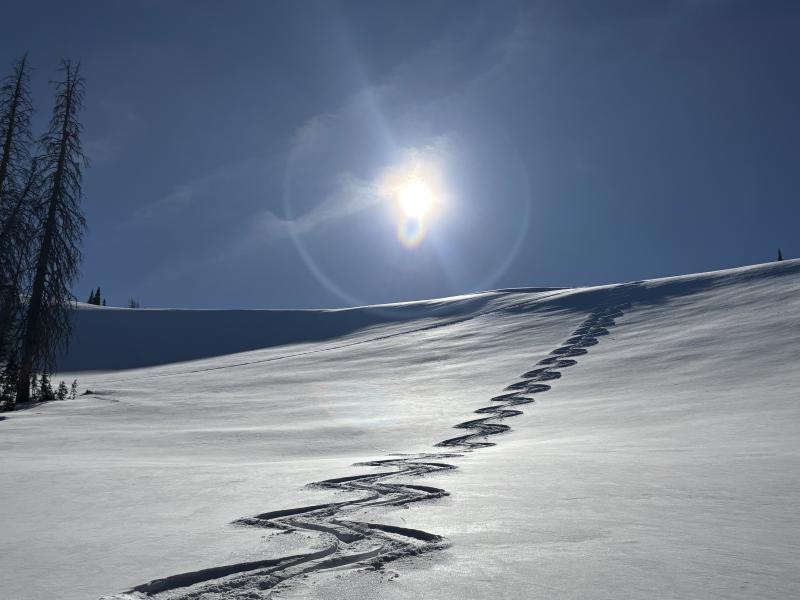
In the windzone at and above treeline, you'll find pockets of MODERATE avalanche danger especially on steep, polar slopes in the alpine. Human triggered hard slabs, breaking up to a foot deep are POSSIBLE, particularly in terrain with an easterly component to its aspect.

Don't forget... a very stiff slab rests atop older, sugary facets, and once initiated, may break a bit deeper and wider than you might expect.

Low
Moderate
Considerable
High
Extreme
Learn how to read the forecast here
Weather and Snow

Nowcast - With clear skies overhead a big, beautiful, Snow Moon cast amazing light on the Uinta Range. Winds near the high peaks ramped up at the turn of the new day and currently blow 25-35 mph from the west-northwest. We're out of the deep freeze and temperatures are about ten degrees warmer this morning than yesterday at this time, registering in the mid 20's °F from tip to tail .

Forecast - Expect mostly sunny skies with temperatures climbing into the mid and upper 30's °F. Near the high peaks, winds blowing 25-40 mph from the northwest are gonna be obnoxious this morning, but decrease as the day wares on.

Futurecast - Partly cloudy skies and warm temps are on tap for Sunday with a dry, cool front slated to slide across the region to kick off the workweek. No storminess 'til we get closer to Valentines Day.

Travel Conditions -

My half-full cup runneth over as the midweek storm delivered a shallow coat of white paint, coupled with bright sunshine, going a long way to improve the snow surface whilst bumping morale upward by a notch or three :)

Recent Avalanches

Yesterday, in high elevation, alpine terrain, I was able to collapse several pieces of very hard, wind-pressed snow resting atop weak, sugary facets. The largest, a medium sized backyard, above-ground pool. Shooting cracks, loud whoomph, but the slab arrested... red flag structure for sure.

Avalanche Problem #1
Persistent Weak Layer
Type
Location
Likelihood
Size
Description

Our mid month wind event, torched the alpine, creating a pencil hard, wind pressed slab that will feel super bomber under our skis, board, or sled but is underlain with a sugary layer of near surface facets. In upper elevation, above treeline terrain we have moved this setup into a persistent weak layer or PWL category. I think you'd be hard pressed to trigger an avalanche today, but if you're getting after it on sustained, steep terrain in the alpine, I think to myself that even a small slide in consequential terrain could get rowdy if it strains me through rocks, cliffs, or trees.

Fortunately, we can steer clear of this problem today... lose the wind and you lose the problem. Simply lose some elevation and hone in on mid and upper elevation, wind sheltered terrain where you'll score a great day of cold, recycled powder riding and turning conditions.

General Announcements

We have some upcoming classes and events that we'd be stoked to see you at -- Please reach out with any questions and check out below for more details!

We are always looking for snow and avalanche observations or just general riding conditions. Reach out to us with questions, concerns, or if you see anything in your travels! Contact us directly through the info below:

This forecast is from the U.S.D.A. Forest Service, which is solely responsible for its content. This forecast describes general avalanche conditions, and local variations always occur. This forecast was issued on Saturday, January 31st at 0300 AM and expires 24 hours after it was issued. We'll update this information by 07:00 AM tomorrow