Forecast for the Uintas Area Mountains

Craig Gordon
Issued by Craig Gordon on
Friday morning, January 9, 2026

While not widespread, at and above treeline, you'll find pockets of CONSIDERABLE avalanche danger and human triggered avalanches are LIKELY on steep, upper elevation slopes, especially those above treeline, facing the north half of the compass. Breaking 3-5 feet deep, failing into old snow, and shattering up to a football field wide, these are not to be messed around with avalanche dragons. Steep, rocky slopes, with a shallow, weak snowpack are primetime suspects.

In addition, fresh drifts, reactive to our additional weight formed yesterday on the leeward side of mid and upper elevation ridges where MODERATE avalanche danger is found. Easy to detect and easy to avoid, human triggered avalanches are POSSIBLE on steep slopes with recent deposits of wind drifted snow.

Here's my exit strategy... the solars are firing and I'm gonna avoid avalanche terrain altogether and work on my winter tan by steering my program towards high quality riding on low angle, sunny slopes, with no overhead hazard. Done, done, and done :)

Low
Moderate
Considerable
High
Extreme
Learn how to read the forecast here
Weather and Snow

Nowcast - A few lingering snow showers slide through the region early this morning, adding a delightfully, chin tickling, pixie dust topper to yesterday's ultra-low density 8 inch storm. Cold air is filtering into the Uinta zone and temperatures cratered overnight, currently reading in the single digits at the trailheads, and below 0°F near the ridges. Throw in winds blowing 15-25 mph from the north and we've got windchill values registering in the -23°F range... ouch, that's gonna leave a mark. But don't let your heart be troubled, the riding and turning conditions are firing right now and I bet you'll quickly forget about the finger numbing temperatures once your skis hit the snow.

Forecast - A few scattered snow showers linger over the region, before mostly sunny skies take control for a good portion of the day. The mercury claws its way out of the deep freeze and into the low 20's F by about midday, while ridgetop winds blowing 20-30 mph from the northwest are gonna deliver a slightly buzz-killing bite.

Futurecast - High pressure builds throughout the day inviting mostly sunny skies and warmer temperatures to the weekend barbecue. No significant storms in sight through mid month.

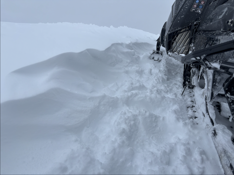
Travel Conditions - Since the turn of the New Year, travel conditions have dramatically improved across the range with supportable snow depths registering from 3-5 feet. It's still a little lean at lower elevations, but the Christmas Eve raincrust keeps us off the ground and last weekends dense storm snow helps put to bed any lingering rocks, stumps, lumps or bumps.

From the Mirror Lake Corridor through Weber Canyon and the North Slope, we're hearing reports of buried surface hoar that developed earlier in the week, right before Wednesday nights storm. This is a tricky layer and something to keep an eye on as our snowpack develops. Thanks to Inspired Summit Adventures owner, guide, and superhuman Shaun Deutschlander for the image and the inside line.

Recent Avalanches

Weston D was in the Whitney Drainage Wednesday and discovered some leftover weekend avalanche carnage near Moffit Peak along with some great snow obs from that zone.

More trip reports and additional avalanche observations are just a click away on the button below.

Avalanche Problem #1
Persistent Weak Layer
Type
Location
Likelihood
Size
Description

Ted was in the Gold Hill zone Tuesday and noted this large, natural slide on Double Hill. It's a couple days old, but mirrors exactly the kind of snow structure and terrain where we could still trigger a deep, scary avalanche today.

Our snowpack is becoming deeper and more resilient over time, and yesterday's fresh snow and water weight is hardly enough for our pack to take notice. However, there's plenty of slopes throughout the range that are still adjusting to last weekends big storm and will come to life with a little provocation. And while it's becoming more the exception than the rule, I suspect the usual suspects like steep, rocky slopes with a shallow, weak snowpack, could react to our additional weight. Sure, we might forget about deeply buried weak layers, but the snowpack has an amazing memory. Remember, all we need to do is find a thin portion of the snowpack, like around a rock or bush, collapse the weak layer (whumpf), and now we're staring down the barrel of a dangerous avalanche.

Since we don't have avalanche goggles (patent pending :) and can't see where these landmines exist, I'm moving with caution and intent by slowing down, gathering facts, and reminding myself... even though we're into January, our snowpack is in it's infancy and barely comfortable in its own skin. i also know persistent slabs are tricky, unmanageable avalanche dragons, and instead of trying to outsmart the snowpack, I'm gonna use avalanche avoidance and terrain management as my go-to tools.

Avalanche Problem #2
Wind Drifted Snow
Type
Location
Likelihood
Size
Description

Wavy gravy... a few shallow wind drifts developed late Thursday, continuing in that spirit overnight.

There's enough low density storm snow available to blow around and team up with ridgetop winds, and that combo easily whips up a fresh round of drifts reactive to our additional weight. This avalanche dragon is straight-forward and I'm looking for and avoiding fat, rounded pillows of snow, especially on the leeward side of ridges, chutes, gully walls, and cut banks. In addition, I'm gonna steer clear of hard, dense drifts, especially if they sound hollow like a drum.

Additional Information

There is no better time to take any avalanche course than now! Whether you sled, ski, board or snow angel, we have a class for you. Reach out to us to get into an avalanche course that fits you best, or get your riding crew together and lets set-up a private day on snow!

General Announcements

We have some upcoming classes and events that we'd be stoked to see you at -- Please reach out with any questions and check out below for more details!

We are always looking for snow and avalanche observations or just general riding conditions. Reach out to us with questions, concerns, or if you see anything in your travels! Contact us directly through the info below:

This forecast is from the U.S.D.A. Forest Service, which is solely responsible for its content. This forecast describes general avalanche conditions, and local variations always occur. This forecast was issued on Friday, January 9th at 0400 AM and expires 24 hours after it was issued. We'll update this information by 07:00 AM tomorrow.