Forecast for the Salt Lake Area Mountains

Issued by Brooke Maushund on
Sunday morning, April 5, 2026
Sunday morning, April 5, 2026
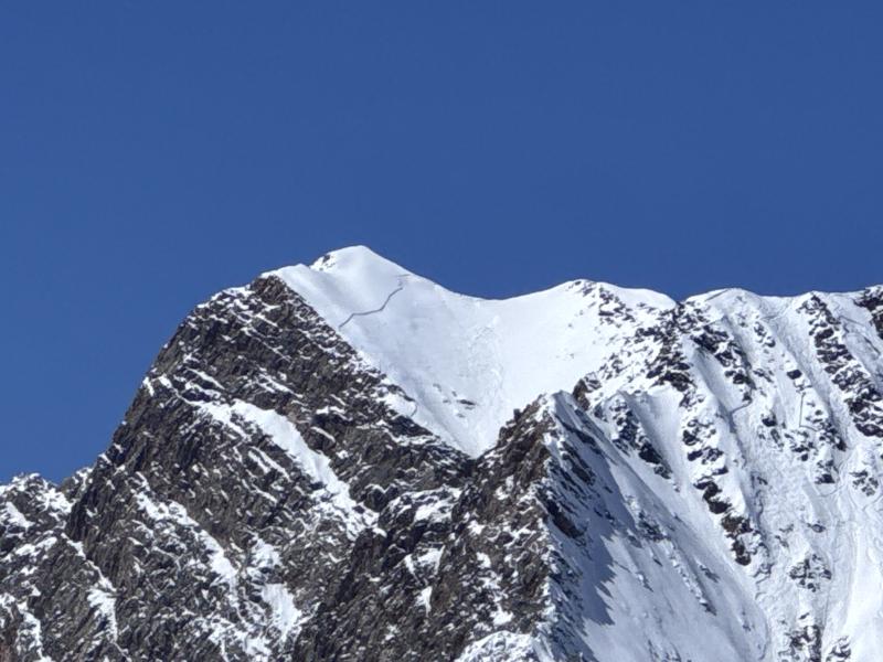
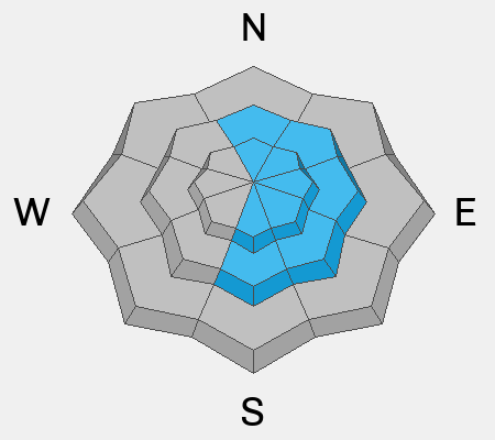
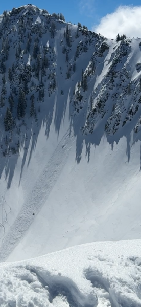
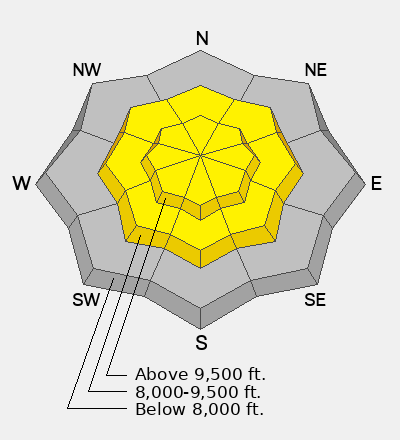
The avalanche danger is MODERATE. You can find slabs of wind-drifted snow 1-2'+ thick on most N-E-S facing slopes that can break hundreds of feet wide. These were responsible for 18 skier-triggered avalanches, including 10 catch and carries, on Friday. As temperatures rise well above freezing for the first time since the storms, expect wet avalanche activity to increase in likelihood and size throughout the day on most slopes.
If the weather forecast verifies, danger could rise to CONSIDERABLE by this afternoon for wet snow activity.
Low
Moderate
Considerable
High
Extreme
Learn how to read the forecast here