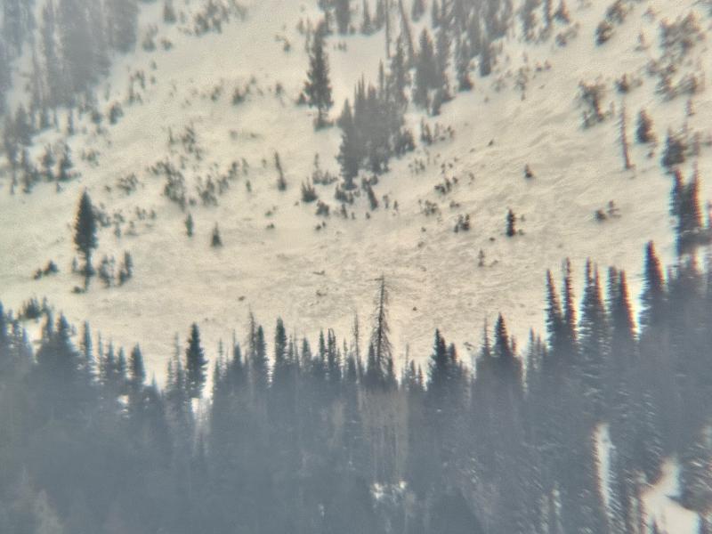
From my house this morning, I spotted a natural avalanche that released in the Little Shoe within the last 24 hours. A very brief break in the clouds allowed visibility, and I was able to view it through a scope. I highly suspect the weak layer was faceted snow from Dec and Jan. The width and depth are rough estimations. I could make out the crown face on the west side of the starting zone. It looked like it took out the entire starting zone, which is about 300' wide. Since I could see the fracture line from my house (8 miles away) I figure it has to be at least 2 feet deep for it to be visible. It's probably closer to 3 feet deep.
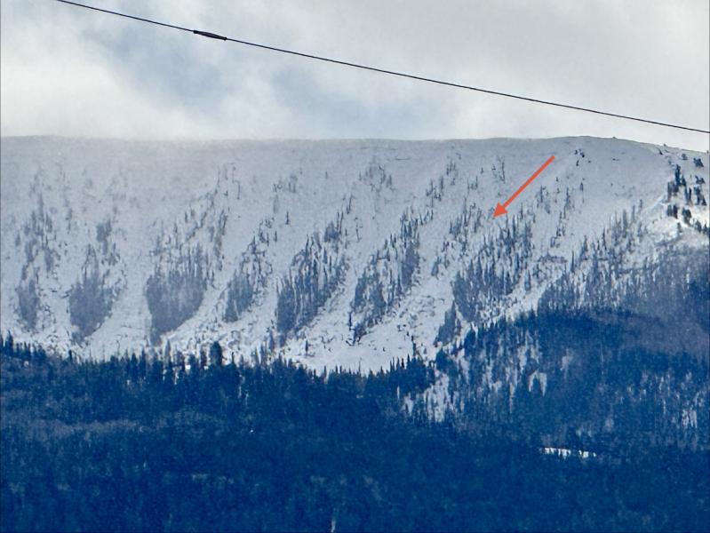
I could definitely make out a large pile of debris in the runout zone. It almost looked like there might be debris that was covered up in the runout zone just to the looker's left of this debris pile, but I couldn't swear to it.