Check out our Holiday Auction - Sign Up for the Utah Snow and Avalanche Workshop (USAW)

Observation: Ant Knolls

Observation Date
12/4/2024
Observer Name
Manship & Champion
Region
Provo » Snake Creek » Ant Knolls
Location Name or Route
Ant Knolls
Weather
Sky
Clear
Weather Comments
Beautiful day! It felt pretty warm in the sun but remained very cool in the shade, even down at lower elevations.
Snow Characteristics
Snow Surface Conditions
Faceted Loose
Wind Crust
Melt-Freeze Crust
Snow Characteristics Comments
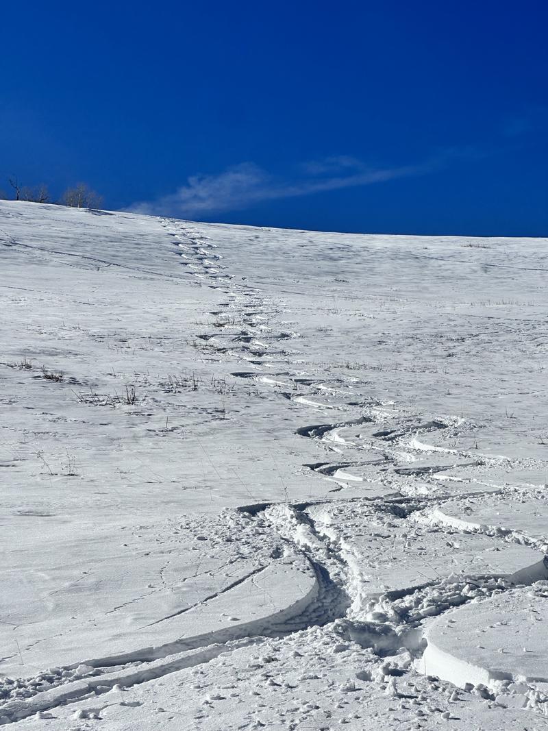
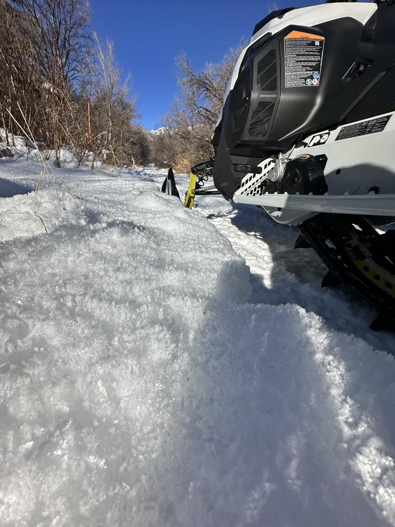
The snow has taken a beating from this high pressure. The clear cold nights turned the shallow snowpack in this part if the region into a sandbox on low angle and polar slopes. On SW-S-SE the snow took on more heat today and is melting and/or will have a sun crust on it tomorrow. Around ridge lines variable snow exists from past winds.
Red Flags
Red Flags Comments
Currently the snowpack seems generally stable due to a lack of a cohesive slab on the weak faceted snow.
Snow Profile
Elevation
9,700'
Comments
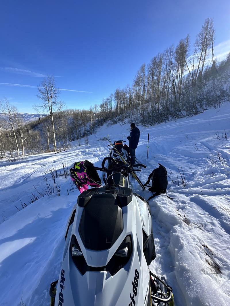
In our travels we found a generally thinner snowpack on the Wasatch Back, relative to the central cottonwoods. Snow height on polar and protected snow ranged from 30-50cms. We noted very developed surface hoar, especially at low and mid elevations. Right now it is very thin out there and it is pretty hard to snowmobile or ski without touching bottom.
While a snowpack issue doesn't seem to be much of an issue right now, the sandbox that is our snowpack will become the futures persistent weak layer. Mapping where the snow exists, and where it is faceted will continue to be important.
Today's Observed Danger Rating
Low
Tomorrows Estimated Danger Rating
Low
Coordinates