Observation: Mt Watson

Observation Date
4/28/2026
Observer Name
Katz
Region
Uintas » Mirror Lake Highway » Mt Watson
Location Name or Route
Mt. Watson
Weather
Sky
Broken
Precipitation
Heavy Snowfall
Wind Direction
Northwest
Wind Speed
Light
Weather Comments
Typical spring convective conditions were at hand today. Periods of few clouds were intermixed with heavy PI and obscured skies. Winds remained relatively light throughout the morning.
Snow Characteristics
New Snow Depth
12"
New Snow Density
Low
Snow Surface Conditions
Powder
Damp
Snow Characteristics Comments

12-16” of right side up storm snow was present up high where not wind affected. This light density snow did take on heat around 1300 hour in any areas exposed to sun (even things like low angle north).

Avalanche Problem #1
Problem
Wind Drifted Snow
Problem #1 Comments

Mid-storm activity was visible on E facing Watson (attached), and cornice stomping pulled out a sensitive pocket on the same aspect (photo attached). This was about 8” deep and failed within the recent storm snow. Out of the wind, even in steep terrain, the right side up storm snow was not reactive in hand pits, or to ski turns.

Comments

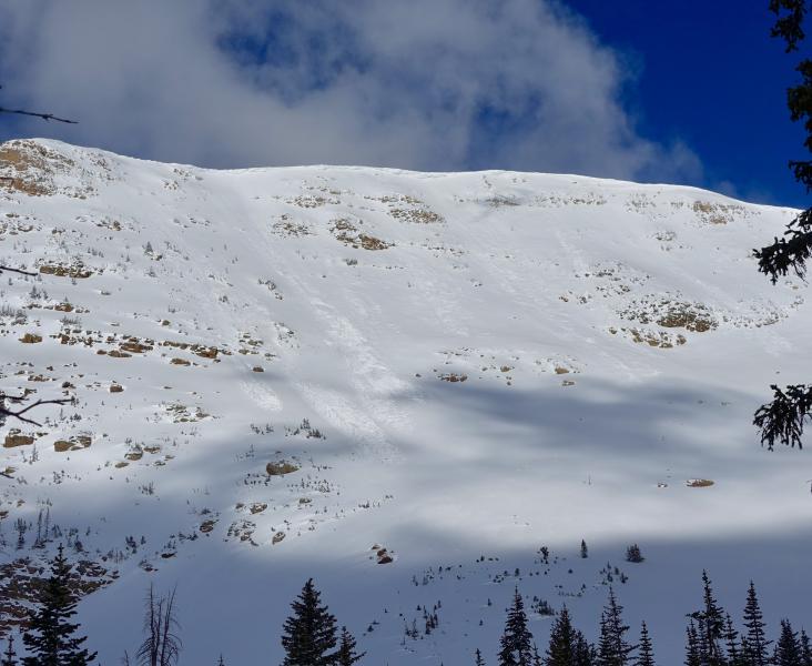
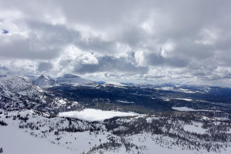
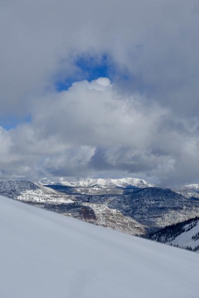
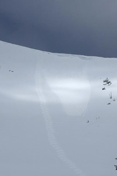
Travels north from the Trial Lake area are best attempted on foot at this point. Open lakes, creeks, puddles, logs, and rocks make snowmobile travel off road in this area difficult. After a relatively clear morning, skies became cloudy around 0830, and the strongest pulse of spring squall came through around 1130, quickly delivering an additional 1” of snow. Despite it being a cloudy day overall, the strong spring sun was able to turn the light density surface snow damp right around 1300. After this point, surfaces anywhere exposed to sunlight were entraining snow, featured rollerballs, etc. Attached are photos of the surrounding area: Notch/Bald, Anchor, and Weber Cyn.

Today's Observed Danger Rating
Moderate
Coordinates