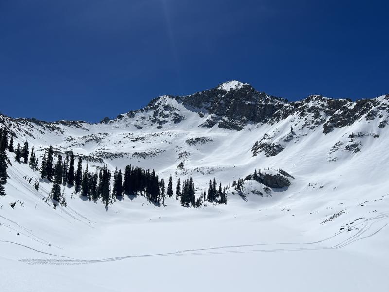
Given how reactive the storm snow was to humans on Friday, I was expecting to see something from the alpine zone in upper White Pine, but other than some wet/loose, there were no avalanches in upper White Pine.
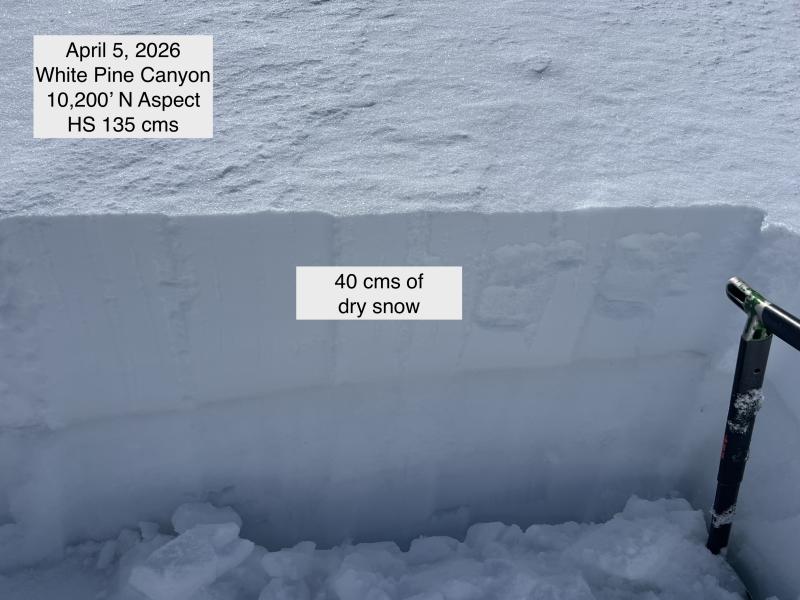
The storm snow has settled into a 30-45 cm slab that is damp below 9,500' with dry snow still available on northerly aspects as you approach 10,000' and above.
I dug two pits today, one each at mid and upper elevations. Overall, the snowpack has settled down after a very active day on Friday, and I could only get ECTN22 just above the thin melt-freeze crust that formed during a period of greenhousing on Wednesday afternoon, April 1. I was able to get clean shears with shovel tilt tests on the old snow surface layer underneath the 4/1 storm snow.
Wet Snow Avalanches: other than upper-elevation northerly aspects, the storm snow has seen sun the past few days and has slowly adjusted as the snow surface has crusted, with dry snow underneath. With temperatures moderately increasing the next few days, I am not expecting a rapid warmup and the snow will continue to adjust.
Dry Snow Avalanches: There is dry snow on northerly aspects above 10,000' that has not taken on heat, and on slopes at the upper-most elevations, triggering a soft slab avalanche is possible, especially on any slope that has been wind-loaded.
There is some cloud cover expected Sunday night and into Monday, and this may lead to some greenhousing which may cause the dry snow to become more reactive.
Photos:
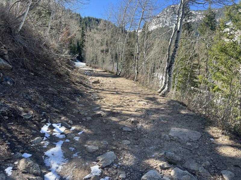
- Dire conditions on the lower reaches of the White Pine summer trail
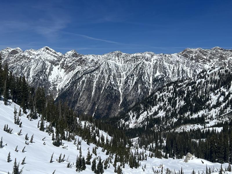
- Looking across at the BCC/LCC ridgeline which is usually filled in by early April
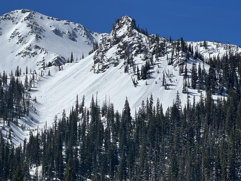
- Loose/wet avalanches below the Spire and Dog Dish
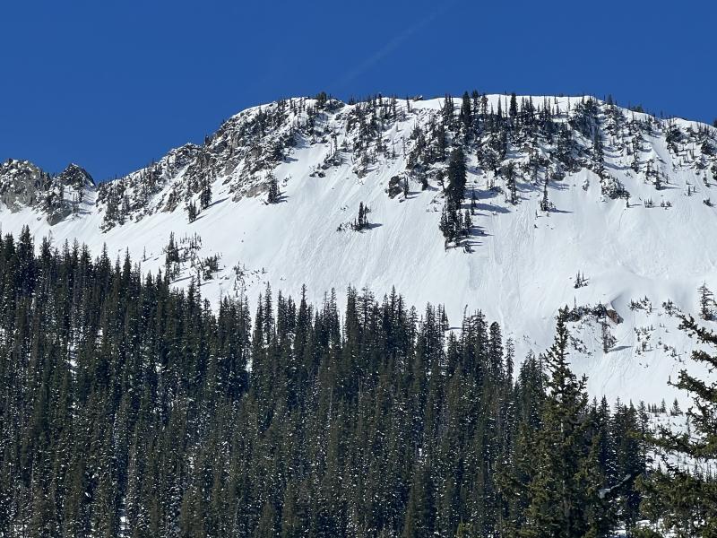
- Upper White Pine below White Baldy
- Pits at low and mid elevations