Observation Date
11/22/2024
Observer Name
M. Talty
Region
Salt Lake » Little Cottonwood Canyon » Grizzly Gulch » Twin Lakes Pass
Location Name or Route
Twin Lakes Pass
Comments
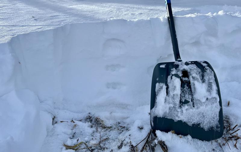
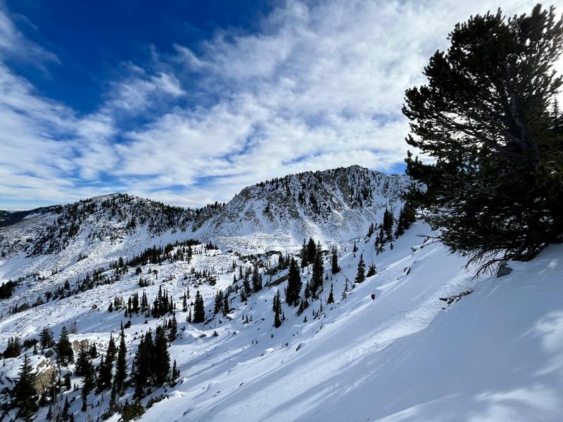
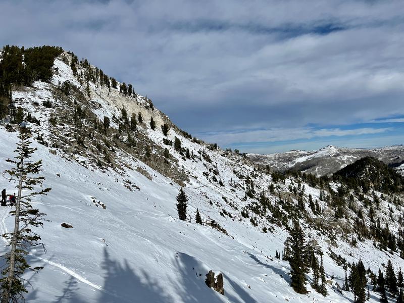
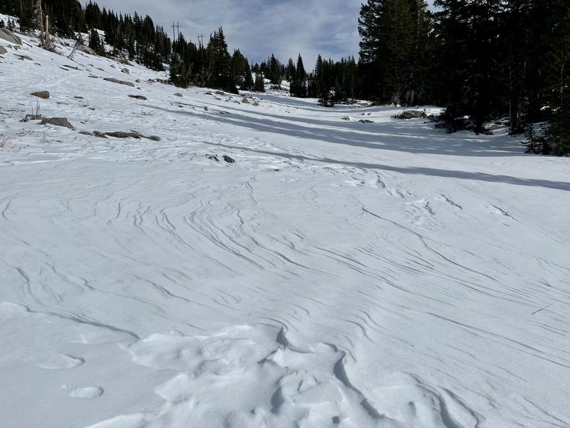
Traveled from Grizzly Gulch to Twin Lakes Pass and followed the ridgeline south towards Wolverine Cirque. The objective for the day was to assess upper elevation East and West aspects as we anticipate an incoming storm. The snowpit pictured below is from the top of Heaven’s Gate, below the ridgeline on an east face at 10,250’. Beneath the most recent snow, weak sugary facets have created a structureless snowpack. It was easy to sink to the ground when getting off your skis. Small isolated pockets of wind-drifted snow can be found along the ridgeline, which are sitting above this weak snow. Pole probes along upper elevation shady southeast slopes felt similar in structure to due east. Southeast aspects fully exposed to the sun held little snow.
The most recent snow on the western aspects has settled more than the eastern slopes and is more supportable, with the same weak snow composing the lower snowpack. Southwest-facing slopes were damp and hosted difficult travel conditions by the afternoon. With the incoming storm and weak structure abound, I will be interested to see how upper elevation W-N-E slopes behave, and especially interested in sun-protected southeast aspects.


Today's Observed Danger Rating
None
Tomorrows Estimated Danger Rating
Low
Coordinates


