Forecast for the Uintas Area Mountains

Issued by Craig Gordon on
Sunday morning, April 19, 2020
Sunday morning, April 19, 2020
Today is the last regularly scheduled avalanche forecast for the season. I will be update this page on Monday Apr. 20th with some general information and links to help you navigate through the rest of the spring. Huge thanks to all of you for a great season.
Today's avalanche hazard is pretty straightforward and easily managed with terrain choices-
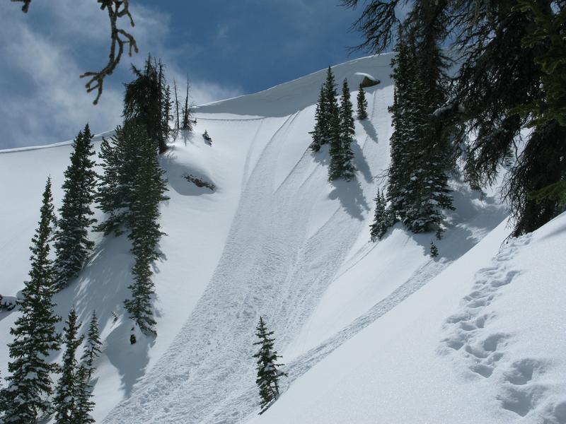
While the avalanche danger is generally LOW across the range, there are isolated places where you could trigger an old wind drift, especially in steep, rocky terrain above treeline in the wind zone. And here's something to consider... if you're getting into steep, technical terrain, even a small slide can knock you off your ride, slam you into a tree, and throw a curve ball at your day.
Also, the snowpack is locked in place and the danger of wet avalanches should remain in the LOW category. However, if the snow you're riding on becomes damp or unsupportable, simply switch to a cooler aspect.

Low
Moderate
Considerable
High
Extreme
Learn how to read the forecast here


