Nowcast - As of 0500 AM temperatures sit slightly inverted with trailheads reading close to 30F°, while high-elevation stations report closer to 35F°. Winds are blowing moderately from the west, averaging 20 MPH gusting up to 30 MPH.
Forecast - A early few clouds and stars make way for a mostly sunny day, and although cooler than yesterday, we should see a high of 50F°. Winds blow from the west, averaging about 15 MPH, accompanied by a few stronger gusts into the 20's.
Futurecast - A moist pattern makes its way into town later Tuesday heading into Wednesday.An April Fools Day impulse with a colder system looking to be on tap behind it Friday and into the weekend.
Travel Conditions - The phrase "With some elevation gain..." has gotten us through the season but I think it is time to put it to rest. Elevation can barely save us now as the range has taken a serious hit over the past couple weeks loosing nearly all of our snow on low-elevation roads and trailheads. The best chance for access continues to be up the Mirror Lake Corridor. HW-150 is plowed to Murdock Basin on the south side, and Whitney Basin on the north. 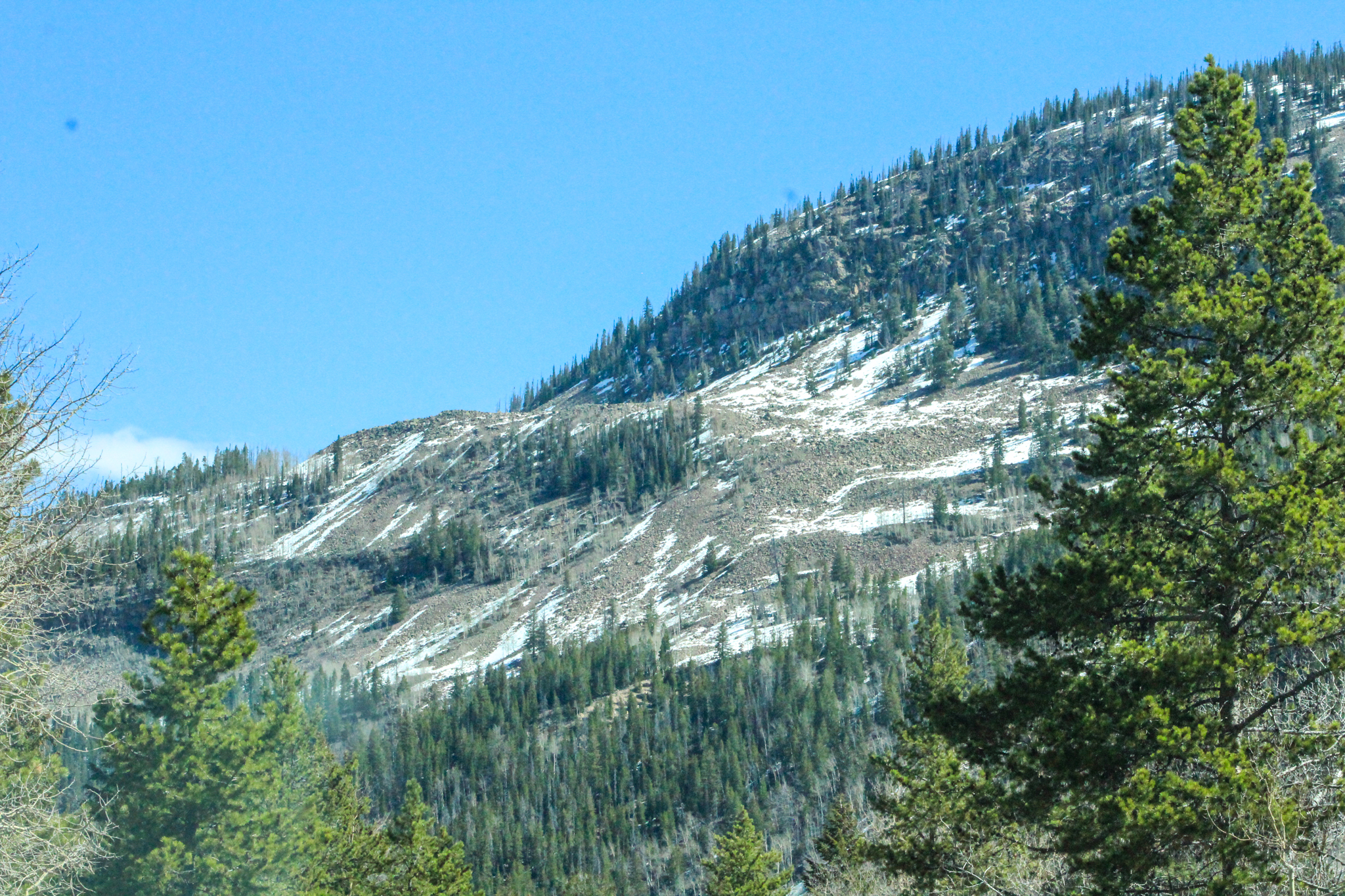
A west southwest facing slope at 10,000' is nearly melted to the ground. The only snow left for the taking remains above mid-elevations on the north half of the compass, and even that is going fast!
No new avalanche activity has been reported from across the range in the past 24 hours.


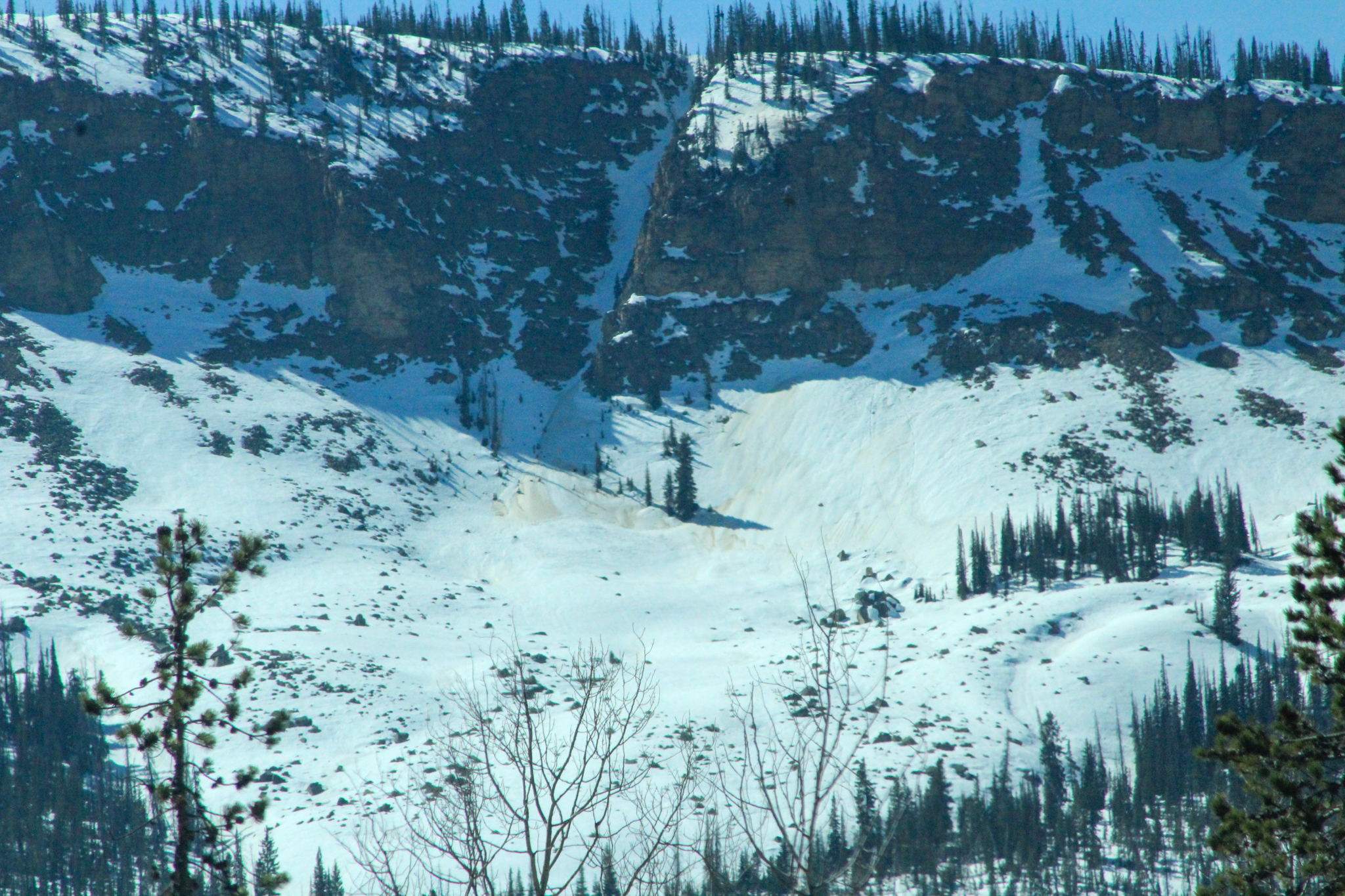 An old wet snow avalanche in the Iron Mountain Chute than ran within the past week. Steep, rocky terrain like in the photo above is that a great example of the text book terrain I am steering away from today.


