After a difficult week in February that included four avalanche fatalities, UAC forecasters will host a community debrief to discuss the conditions surrounding these accidents. We will review the weather and snowpack patterns, share observations from the field, and discuss lessons learned. This event will not be live but include time for questions and discussion, with the goal of learning together as a community. Please submit your questions HERE.
Nowcast - This morning, partly cloudy skies are accompanied by trailhead temperatures in the high 30's F°. Light to moderate winds, blowing from the southwest, average 15 MPH with a few gusts into the 20's. Overall, its another warm one.
Forecast - Not quite as steamy as the past few days, but expect a high of 45F° at 10,000' today accompanied by light winds from the west, around 10-15 MPH.
Futurecast - We carry on in this spirit through the week, 10-15 degrees above average. And if you haven't hung it up yet, there is scuttlebutt of a storm rolling into the range at the end of the month, around the 29th.
Travel Conditions - It is not for the faint of heart out there right now! Price of admission is high, and believe it or not Mill Hollow FR54 off of SR-35 has the best coverage for sled access. For the brave, there is some soft snow out there. For sledders, get on it while its hot, during the heat of the day when the snow is the softest. For human-powered folk, you may get lucky with some supportable, soft turns by playing the timing game earlier in the day. Either way, you can't beat a day when the suns out in the mountains!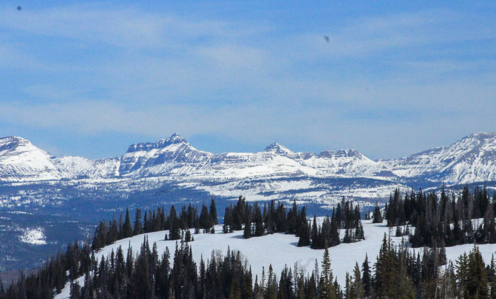 Looking east towards the High Uintas and Central Mountains, there is plenty of snow up high above 10,000', but below that travel, access and fun-having conditions present some serious challenges and a a lack of coverage.
 A due south slope at 10,000' near Duchesne Ridge that is almost completely melted out. Over the next few days I am sure most of our solar slopes up to 10,000' will be melted out. When the freeze-thaw cycles return full swing it will be important to gain serious elevation if your on the hunt for corn.
No new avalanche activity has been reported in the past 24 hours, for recent slides and travel reports from across the range, click below!


 Moist, rounding facets sit below a dense slab on slopes facing north through east above 10,000'. These snow grains are showing signs of turning the corner, but as Brett "Kowboy" Kobernik says, "We can't trust 'em jus yet".


