Forecast for the Uintas Area Mountains

Andrew Nassetta
Issued by Andrew Nassetta on
Monday morning, March 2, 2026

On the north half of the compass at mid and upper elevations CONSIDERABLE danger exists and human-triggered avalanches are LIKELY failing up to 4 feet deep into faceted snow and breaking hundreds of feet wide. As riders, this is a tricky set-up because we can remotely trigger very large, timber-snapping, terrain-trap filling avalanches from the flats or a distance away.

Our persistent slab problem is not going anywhere, and avoidance of avalanche terrain on the north half of the compass is my go-to tool for managing todays hazard.

Low
Moderate
Considerable
High
Extreme
Learn how to read the forecast here
Weather and Snow

Nowcast - A warm start to the morning with Uinta trailheads in the low 30's°F and the high peaks reporting in the mid-20's°F. Winds blowing from the west average 25 MPH gusting into the 30's, and are past the point of breezy. As of 0500 we are seeing few traces of snow starting to hit the ground, with it's efforts mainly focused on the Mirror Lake Corridor and North Slope.

Forecast - Under westerly flow, we should receive a couple inches of snow by the end of the day that should refresh things a bit -- I am hopeful for 3-5" depending upon where you are across the range. That being said, temperatures stay warm and the rain/snow line could be as high as 8,000'. Winds blow from the west veer to the north later on this evening bringing in a bit of cold air, and hopefully some additional snowfall.

Futurecast - We stay weathery through Tuesday afternoon when things tail off. Then a brief break in the action to start the is followed up by a more powerful pulse, with colder air that looks to impact the region into Wednesday.

Travel Conditions - You wouldn't know that the Uinta's received nearly 2-3' of snow last week with almost 3" of SWE by the looks of things outta the gate. Many of our trailheads received rain earlier this week and the pack took a hit down low, making travel in and out of riding zones difficult. The price of admission may be worth it for some, and with a few thousand feet of elevation gain and a little adventuring, surfy and spongey riding conditions will be waiting to greet you in protected, north facing terrain. Reids Peak in the distance surrounded by greybird skies that hung around all weekend and aided a mixed bag of conditions and snow surfaces across the range.

Recent Avalanches

Evidence and reports continue to surface from this past weeks natural avalanche cycles, with the majority of action happening on NW through E aspects, at mid and upper elevations.

Near Lake Fork on the Duchesne Ridgeline near 9,700', an avalanche in protected terrain looks to be triggered by a rider low on the slope. In sheltered areas like above, the snowpack is thinner, the weak layer is weaker, and the avalanche is more likely to be triggered by us as riders.

Avalanche Problem #1
Persistent Weak Layer
Type
Location
Likelihood
Size
Description

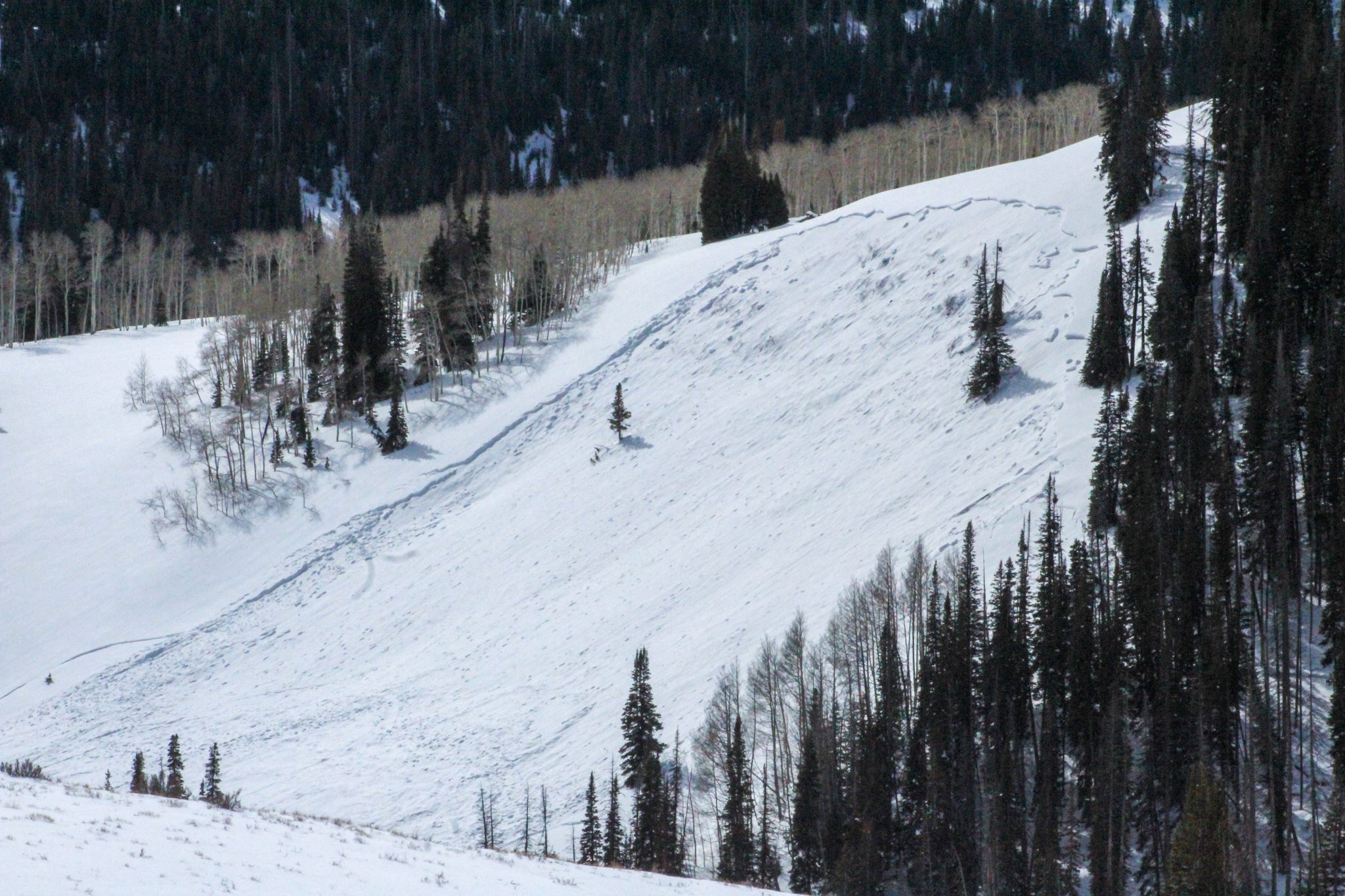
On a north east facing slope around 10,600', my field-partner Cody triggered this chunky persistent slab from nearly 1,000' away while riding his sled just off the groomed road in the flats. More info can be found, here.

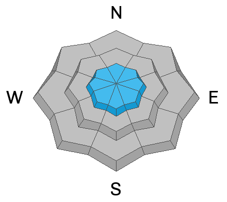
Our persistent weak layer has tried to jump in the ring with last weeks storm that piled up almost 3' of snow with 3" of liquid water on top of it -- Our facets stand no chance in this fight. A dense, strong, pencil-hard slab sits atop our weak January Drought Layer (JDL) of persistent, faceted grains. Track a trench or dig down with your shovel and check it out for yourself, it's a house of cards. More importantly, break out your avalanche eyeballs and be an observer of the mountains. This past weeks natural avalanche cycle helps us key and clue in on the behavior of these wide, deep, and dangerous slides that are being triggered by riders from a distance away.

We are past the peak of sensitivity to triggers, like us, but now we are seeing less obvious signs of instability like cracking and collapsing. But the evidence is clear, and although the likelihood of triggering a very large, destructive avalanche is going down, this set-up is just waiting for a trigger like us to roll along and kick the legs out from under it. Keep in mind that the snowpack is most susceptible to our weight as a rider in thin and shallow areas near trees or rock outcroppings, and in protected areas free of the wind and the elements.

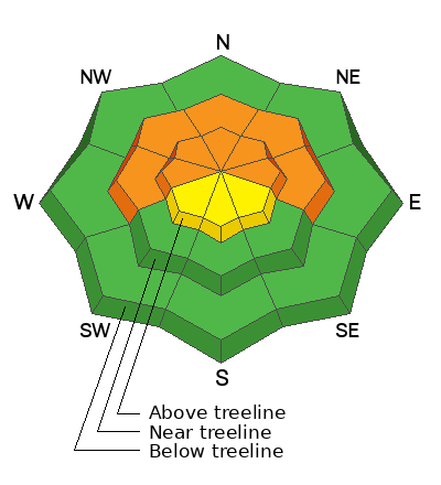
Avoidance is the go-to and only tool for this avalanche problem. These avalanches are unmanageable, destructive, and ready to ruin our day in the backcountry. I am steering clear of any chance of a run-in and avoiding all avalanche terrain on the north half of the compass where this avalanche dragon exists. Above is a rough profile from near Currant Creek, where dense and cohesive storm snow from last week has consolidated on top our our JDL, and is now the focus point of our hazard. This maritime-esque slab is no match for our continental faceted weak layer.
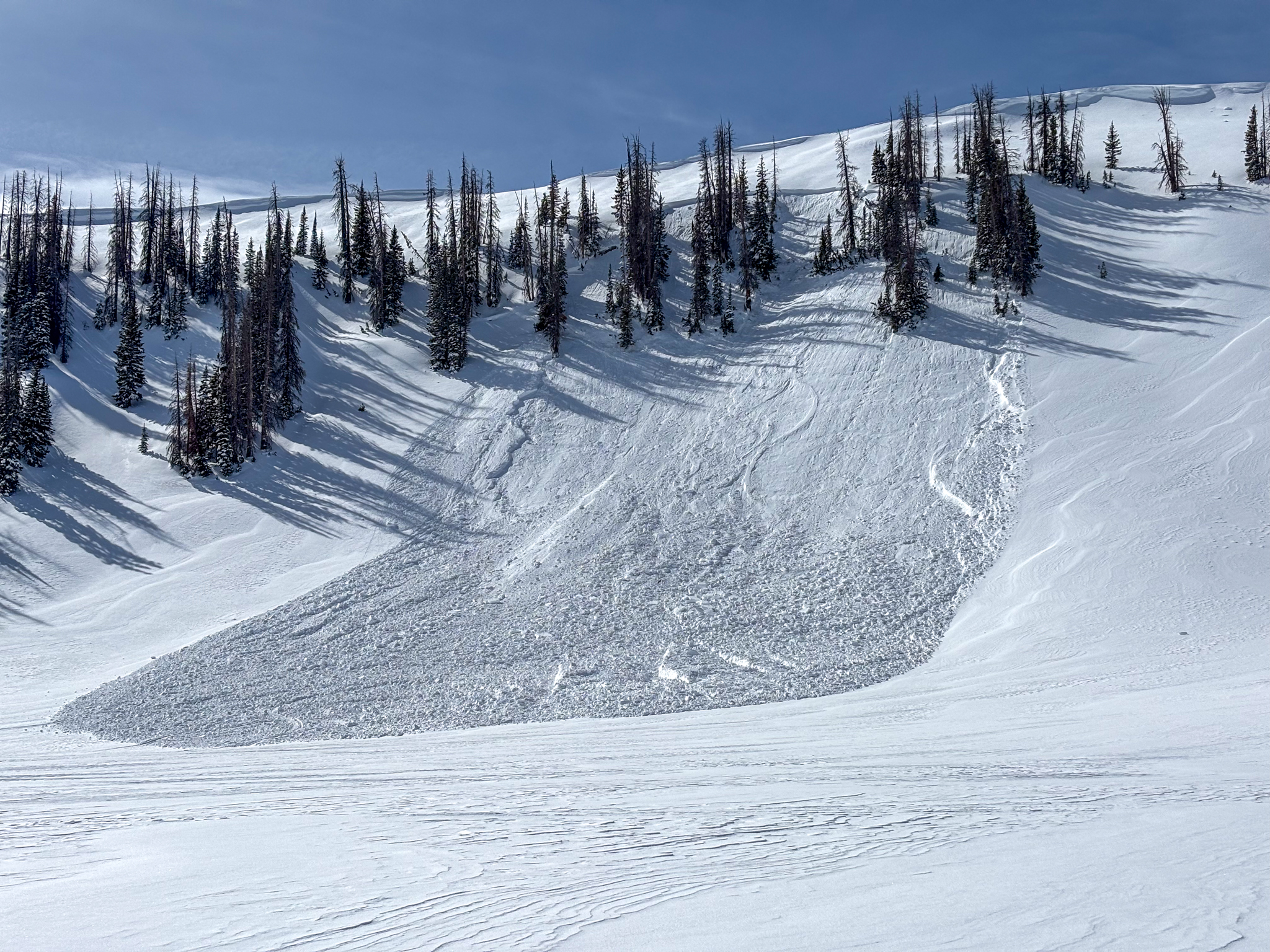
Avalanche Problem #2
Wind Drifted Snow
Type
Location
Likelihood
Size
Description

Above, a small natural wind-drift failed underneath a cornice on an east facing slope at upper elevations. I would expect todays drifts to be a bit deeper, and slightly more reactive with the bump in winds overnight.

Ahead of incoming weather today, winds ramped up overnight have been blowing consistently from the W and SW. Todays wind-drifts will become increasingly sensitive and grow in size with continued winds and a few additional inches throughout the day. Remember, even a small avalanche could knock you off your feet or rig and strain you through consequences of terrain like trees, rocks and cliffs.

To manage this problem, I look for and avoid rounded, textured drifts that look like pillows. They are likely to be found on on the leeward sides of ridges, below cornices, or on cross-loaded terrain features such as gullies, cut banks, and slope convexities.

Additional Information

Join the UAC for the first "Stay and Play Avalanche Course" at Bear River Lodge in the Uintas, March 19th-22nd. This course is designed for snowmobilers by snowmobilers, where you will learn avalanche rescue, riding skills, and how to survive in the backcountry. Come enjoy all the luxury offerings at Bear River Lodge and improve your skills along the way.

Our Avalanche Rescue Training Park is set-up and located at the top of Wolf Creek Pass, SR-35, and is waiting for you to come take it for a spin! Open up the control unit, flip a few switches, and dial in your avalanche rescue skills with this roadside attraction!

General Announcements

We have some upcoming classes and events that we'd be stoked to see you at -- Please reach out with any questions and check out below for more details!

We are always looking for snow and avalanche observations or just general riding conditions. Reach out to us with questions, concerns, or if you see anything in your travels! Contact us directly through the info below:

This forecast is from the U.S.D.A. Forest Service, which is solely responsible for its content. This forecast describes general avalanche conditions, and local variations always occur. This forecast was issued on Monday, March 02 at 0500 and expires 24 hours after it was issued. We'll update this information by 07:00 AM tomorrow.