Forecast for the Uintas Area Mountains

Craig Gordon
Issued by Craig Gordon on
Friday morning, February 20, 2026

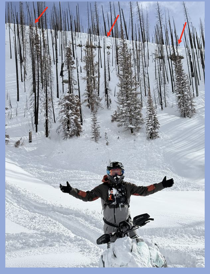
These are the exact avy conditions that lead to near misses, close calls, and days with unhappy endings. So, whatta you say... let's pump the brakes, tone down our objectives, and think about the devastating consequences of triggering a slide.

For today, HIGH avalanche danger exists around the dial at and above treeline, especially in the windzone, and particularly on steep slopes facing the north half of the compass. Deep, dangerous, and potentially unsurvivable human triggered avalanches are VERY LIKELY. While many slopes avalanched naturally, there's plenty more that wait in a precarious balance for us to come along and knock the legs out from underneath. It's nothing to mess around with... the snowpack teeters on the edge, is unpredictable, and we're able to remotely trigger avalanches from a distance.... meaning we can knock the entire roof down on top of us.

Out of the wind, recent storm snow overloads buried weak layers, maintaining a CONSIDERABLE avalanche hazard and human triggered avalanches are LIKELY on sustained steep slopes.

We don't have to hide under the beds. In fact, we can still have a blast today by carving deep trenches in big open meadows, free of any overhead hazard.

Low
Moderate
Considerable
High
Extreme
Learn how to read the forecast here
Special Avalanche Bulletin

Warning Times:
Friday, February 20, 2026 6:00 AM MST – Monday, February 23, 2026 at 6:00 AM MST

What:
The Utah Avalanche Center is warning of dangerous avalanche conditions across all Utah mountains this weekend. This week’s heavy snowfall and strong winds overloaded preexisting weak layers, creating a HIGH avalanche danger across the entire state. With improving weather moving in for the weekend, avalanche accidents are likely in the backcountry. There have already been two tragic avalanche fatalities this week, as well as several close calls and numerous backcountry avalanches reported.

Where:
The mountains of Utah and southeastern Idaho.

Impacts:
Dangerous avalanche conditions exist in the backcountry and will persist through the weekend. Natural avalanches are possible, and people are likely to trigger avalanches on slopes steeper than 30 degrees. Dangerous and deadly avalanches can be triggered remotely (from a distance or from below). People leaving ski area boundaries are entering the backcountry where the same dangerous avalanche conditions exist.

Special Announcements

The UAC is deeply saddened to report two avalanche fatalities. The first occurred on Wednesday, February 18th in the Big Flat area of Snake Creek near Midway. A snowmobiler was caught, carried, and buried in an avalanche, and unfortunately, recovery efforts were unsuccessful. The second fatality occurred on Thursday, February 19th in the backcountry adjacent to Brighton Ski Resort. A girl skiing was caught, carried, and buried by an avalanche and did not survive. Our sincerest condolences are with all those impacted. The UAC is investigating both accident sites in partnership with local law enforcement.

Weather and Snow

Nowcast - A storm system churning to the south delivers mostly cloudy skies and a couple inches of chin-tickling, low density snow. It's a crisp start to the day with temperatures registering in the single digits °F, while winds blow 10-20 mph from the southeast.

Forecast - Mostly cloudy skies produce a trace to a couple traces of snow during the day, while high temperatures scratch their way into the mid teens °F. Winds shift to the northwest later this morning and remain reasonable, blowing in the 20 mph range near the ridges. Skies clear late tonight and temperatures crater to near 0°F.

Futurecast - A beautiful weekend is on tap... sunny skies, light winds, and warming temperatures.

Travel Conditions - After six weeks with no significant snowfall, finally, the Uinta's got absolutely clobbered and the recent storm is nothing short of colossal. Lower elevations are coming on, but it's still low tide, so definitely tread lightly.

Avalanche educator extraordinaire, Michael Davis, was out field-truthing the recent storm earlier this week near Soapstone and it appears the reported Herculean snow totals confirm suspicions. Yup... it's over-the-hood and over-the head!

Recent Avalanches

The Uinta's came unglued, especially wind sheltered terrain where the January drought layer was no match for this weeks colossal storm snow and water weight.

Avalanche Problem #1
Wind Drifted Snow
Type
Location
Likelihood
Size
Description

Winds have been all over the map this week and there's no shortage of storm snow to work with and every aspect of the compass gets invited to the party. Found on the leeward side of ridges and lower downslope than we might expect, recent drifts have connected the dots around the dial. Once triggered, today's drifts will break to weak layers of old snow, now buried several feet deep in our snowpack, producing large, dangerous avalanches.

Avalanche Problem #2
Persistent Weak Layer
Type
Location
Likelihood
Size
Description

Thanks to Bo for the observation from Soapstone. Bo's comments fit the bill... "Remotely triggered from flat ground 50 feet from the base of the slope. The avalanche broke along a cliff band at the top of the hill and ran about 200 feet where it piled about 15’ deep in a terrain trap gully at the base of the slope. Collapses had been happening all day so we knew how unstable the snow was but was surprised to see such a large avalanche triggered from a long ways away."

A persistent weak layer of near surface facets that formed over the long stretch of dry, January weather is now protected and preserved beneath our most recent storm. On mid and upper elevation polar slopes, this weak layer is buried over 3' beneath the snow surface, is reactive to our additional weight, and can be triggered remotely or from a distance.... it's game on!

In addition to recent avalanche activity, we're noticing lots of red flags, like shooting cracks and collapsing sounds, which are huge red flags and obvious clues to unstable snow. Avoiding steep slopes is the ticket today.

Avalanche Problem #3
New Snow
Type
Location
Likelihood
Size
Description

Just the shear amount of new snow is worth honorable mention. Recent storm snow at all elevations will react to our additional weight. Sustained steep slopes even at lower elevations are now coming into play and need to be carefully evaluated.

Additional Information

Join the UAC for the first "Stay and Play Avalanche Course" at Bear River Lodge in the Uintas, March 19th-22nd. This course is designed for snowmobilers by snowmobilers, where you will learn avalanche rescue, riding skills, and how to survive in the backcountry. Come enjoy all the luxury offerings at Bear River Lodge and improve your skills along the way.

Our Avalanche Rescue Training Park is set-up and located at the top of Wolf Creek Pass, SR-35, and is waiting for you to come take it for a spin! Open up the control unit, flip a few switches, and dial in your avalanche rescue skills with this roadside attraction!

General Announcements

We have some upcoming classes and events that we'd be stoked to see you at -- Please reach out with any questions and check out below for more details!

We are always looking for snow and avalanche observations or just general riding conditions. Reach out to us with questions, concerns, or if you see anything in your travels! Contact us directly through the info below:

This forecast is from the U.S.D.A. Forest Service, which is solely responsible for its content. This forecast describes general avalanche conditions, and local variations always occur. This forecast was issued on Friday, February 20th at 0400 and expires 24 hours after it was issued. We'll update this information by 07:00 AM tomorrow