Forecast for the Uintas Area Mountains

Craig Gordon
Issued by Craig Gordon on
Wednesday morning, February 18, 2026

Heads up.... the Uinta's got absolutely pasted and the avy danger is the real deal-

For today, HIGH avalanche danger exists at and above treeline, especially in the windzone, and particularly on steep slopes facing the north half of the compass. Both human triggered and natural avalanches are VERY LIKELY. I suspect many slopes avalanched overnight, but there's plenty that wait in a precarious balance for us to come along and knock the legs out from underneath. It's nothing to mess around with... the snowpack teeters on the edge, is unpredictable, and we're able to remotely trigger avalanches from a distance.... meaning we can knock the entire roof down on top of us.

Out of the wind just the shear amount of new snow bumps the hazard to CONSIDERABLE and human triggered avalanches are LIKELY on sustained steep slopes.

As the storm continues churning away, I'm steering clear of mid and upper elevation terrain and setting my sights on big open meadows free of any overhead hazard.

Low
Moderate
Considerable
High
Extreme
Learn how to read the forecast here
Avalanche Warning

AVALANCHE WARNING IN EFFECT FROM-

Wednesday, 2/18/26 at 6:00 AM MST through 6:00 AM MST Thursday, 2/19/26
What: The avalanche danger for the warning area is rising to HIGH today.

Where: The mountains of Northern, Central, and Southwestern Utah, as well as Southeastern Idaho

Impacts: Recent heavy snow combined with strong wind is creating widespread areas of unstable snow. Both human-triggered and natural avalanches are likely. Avalanches will increase in size and likelihood throughout the day.

What to do: Avoid all avalanche terrain. Stay off of and out from under slopes steeper than 30°. Carry and know how to use avalanche rescue equipment. Find safer riding conditions on slopes less than 30° with no overhead hazard

Weather and Snow

Nowcast - And then... it was winter! Wow... what a storm! A remnant piece of Atmospheric River (oh how I love thee :) settled into the region yesterday and storm totals are nothing short of colossal. Most areas clock in with 18" of snow and 2" SWE, while Trial Lake pulls ahead with overachieving numbers... 23" snow and 2.2" H2O. Winds blowing from the southwest rage in the 40's near the ridges and absolutely nuke the high peaks with gusts in the 70's. Temperatures hover in the mid 20's °F at the trailheads and high teens °F with elevation gain.

Forecast - The main event is at our doorstep and should be rolling into the Uinta zone later this morning, delivering an intense band of snow that will quickly stack up an additional 10"-16" of low density snow. Much colder temperatures settle into the region as winds veer to the northwest and decrease into the 30 mph range. Temperatures crater to near zero °F overnight.

Futurecast - We dry out for Thursday with another storm in the queue rounding out the workweek, but this syem is focused on the central and southern half fo the state.

Travel Conditions - After six weeks without significant snowfall, finally, the Uinta's got clobbered and the recent storm is nothing short of colossal. Lower elevations are finally coming on, but it's still low tide, so definitely tread lightly.

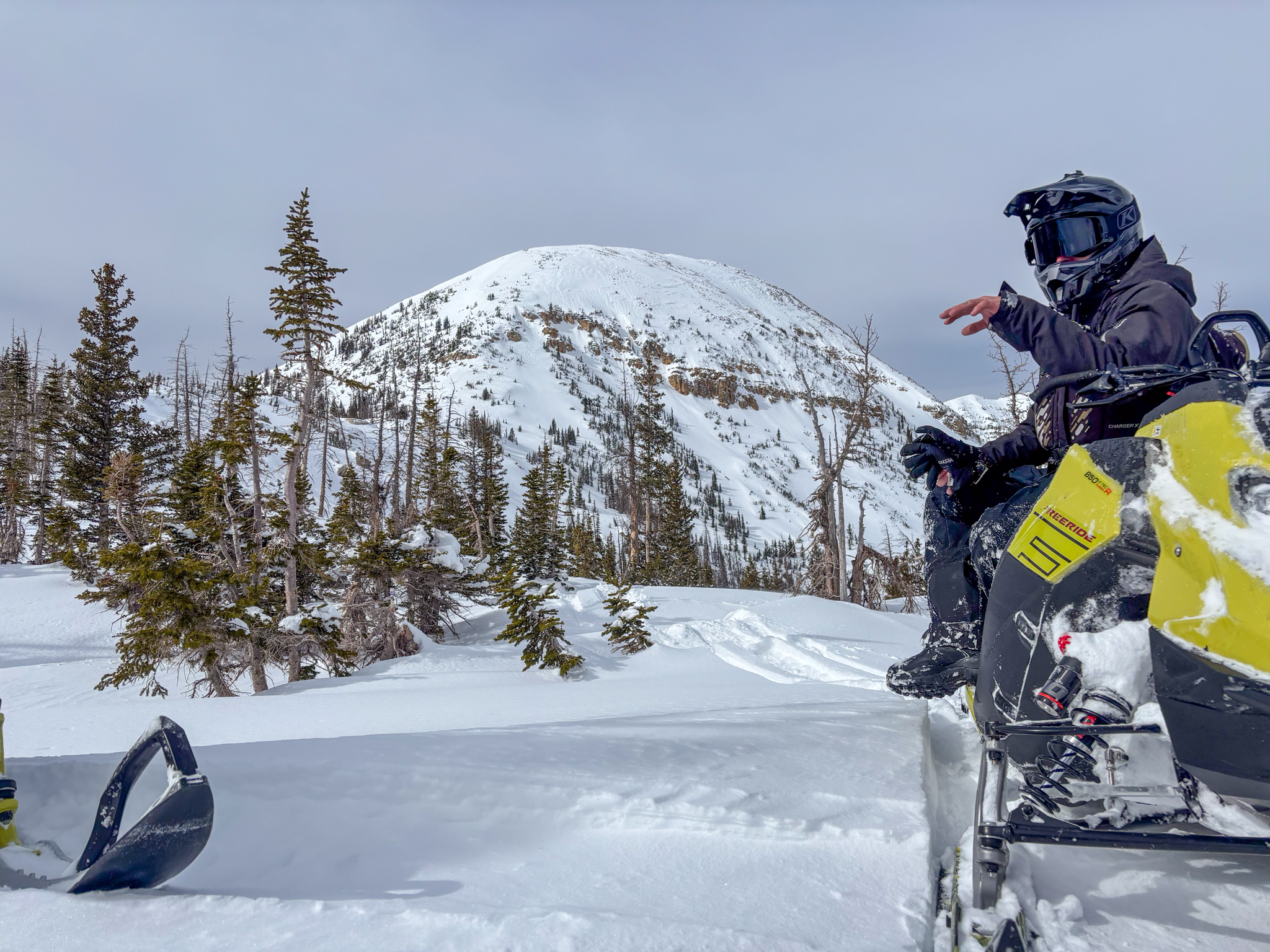
Over the weekend, Andy and Kyle had a big day around the Mirror Lake Corridor, finding quality travel and stellar riding on the north half of the compass above 9,000'.

Recent Avalanches

Monday, a very experienced big mountain crew got to witness Reid's Peak roaring to life late in the day. A great first hand account is found HERE.

Avalanche Problem #1
Wind Drifted Snow
Type
Location
Likelihood
Size
Description

The most in-yer-face avalanche problem is recent deposits of wind drifted snow... and they're gonna be everywhere today. West and southwest winds have raged for three days and now for the first time in nearly six weeks, there's no shortage of storm snow to work with. As wind veers to the northwest later this morning, every aspect of the compass gets invited to the party. Found on the leeward side of ridges and lower downslope than we might expect, fresh drifts will begin connecting the dots around the dial. Once triggered, today's drifts will break to weak layers of old snow, now buried several feet deep in our snowpack, producing large, dangerous avalanches.

Avalanche Problem #2
Persistent Weak Layer
Type
Location
Likelihood
Size
Description

I went for a quick rip around Wolf Creek Pass yesterday and found a very tender snow structure reactive to my additional weight and snowpack stability tests.

A persistent weak layer of near surface facets that formed over the long stretch of dry, January weather is now protected and preserved beneath our most recent storms. On mid and upper elevation polar slopes, this weak layer is buried over 2' beneath the snow surface, is reactive to our additional weight, and can be triggered remotely or from a distance.

Avoiding steep slopes is the ticket today. Bullseye terrain includes thin, rocky areas that are trigger points, where the snowpack is more susceptible to our additional weight.

In addition, we've been noticing lots of red flags, like cracking and collapsing sounds, which are huge red flags and obvious clues to unstable snow. Don't forget, there's no shortage of weak snow buried and protected beneath the surface, and now there's a strong, dense slab resting on top... it's game on!

Avalanche Problem #3
New Snow
Type
Location
Likelihood
Size
Description

Just the shear amount of new snow is worth honorable mention. Recent storm snow at all elevations will react to our additional weight. Sustained steep slopes even at lower elevations are now coming into play and need to be carefully evaluated.

Additional Information

Join the UAC for the first "Stay and Play Avalanche Course" at Bear River Lodge in the Uintas, March 19th-22nd. This course is designed for snowmobilers by snowmobilers, where you will learn avalanche rescue, riding skills, and how to survive in the backcountry. Come enjoy all the luxury offerings at Bear River Lodge and improve your skills along the way.

Our Avalanche Rescue Training Park is set-up and located at the top of Wolf Creek Pass, SR-35, and is waiting for you to come take it for a spin! Open up the control unit, flip a few switches, and dial in your avalanche rescue skills with this roadside attraction!

General Announcements

We have some upcoming classes and events that we'd be stoked to see you at -- Please reach out with any questions and check out below for more details!

We are always looking for snow and avalanche observations or just general riding conditions. Reach out to us with questions, concerns, or if you see anything in your travels! Contact us directly through the info below:

This forecast is from the U.S.D.A. Forest Service, which is solely responsible for its content. This forecast describes general avalanche conditions, and local variations always occur. This forecast was issued on Wednesday, February 18th at 0400 and expires 24 hours after it was issued. We'll update this information by 07:00 AM tomorrow