Avalanche Watch
THE FOREST SERVICE UTAH AVALANCHE CENTER HAS ISSUED A BACKCOUNTRY AVALANCHE WATCH WHICH IS IN EFFECT FROM 0600AM MONDAY TO 0600AM TUESDAY
What Heavy snowfall and strong winds are expected to rapidly increase avalanche danger across northern and central Utah beginning tomorrow morning and continuing through the week.
Where For the mountains of Northern Utah, including the Uinta Mountains.
When In effect 0600AM Monday through 0600AM Tuesday, though increased avalanche danger is expected to continue through the week.
Impacts Dangerous avalanche conditions are expected to develop on many slopes. Avalanches can be triggered on slopes steeper than 30 degrees. They may also be triggered remotely (from a distance) or from below.
What To Do Avoid traveling on or underneath steep terrain at mid and upper elevations in the backcountry. Carry and know how to use avalanche rescue equipment, including a transceiver, shovel, and probe. Find safer riding conditions on slopes less than 30 degrees with no overhead hazard.
Nowcast - Partly sunny skies kick off the day, with valley temperatures in the 20's°F and mountain temperatures in the teens. Winds are blowing steady, averaging 25 MPH from the southwest and have done so over the past 24 hours. With help from gusts into the 40's and 50's, winchill brings temperatures down into the single digits, giving things a bite at upper elevations.
Forecast - Increasing clouds and strengthening winds will be the theme today ahead of the incoming storm systems. Temepratures stay mild, in the 20's°F for the majority of the day with an expected high of 32°F. Winds back to the south mid-day, but veer to southwest and continue increasing through tonight. Expect wind speeds of 30-40 MPH near the highest ridgelines, gusting into and above the 50 MPH mark later this afternoon. By supper time, we should start to see the first few flakes of the storm fly.
Futurecast - A flow of significant winter weather is set to hit the region this evening and carry on through Thursday. The first impulse hits the range tonight from the southwest, and slowly ramps up heading into tomorrow. Depending upon what Kool-Aid you prefer to drink, we are looking at 1.25-2.00" of SWE with up to 24" of snow stacking up by later this week -- Our most significant storm of the season.
Travel Conditions - The Uinta's got a decent refresh earlier this week after about a month without significant snowfall. At lower elevation trailheads, especially on solar aspects, the vibe feels late spring, but turn the corner towards polar slopes, gain some elevation and things quickly turn to winter. The snowpack, in general ranges from 1-4' deep, and is mostly right side up in protected, sheltered terrain providing quality travel and riding. At upper elevations in the windzone, this weeks storm snow is resting on a variety of surfaces from old drifts, to rocks, to faceted snow, creating a tricky set-up when traveling in the high-country. Warm temperatures over the past few days and strong solar input have turned most sunny slopes crusty, while cold, shady slopes continue to hold and protect dry powder for the taking. 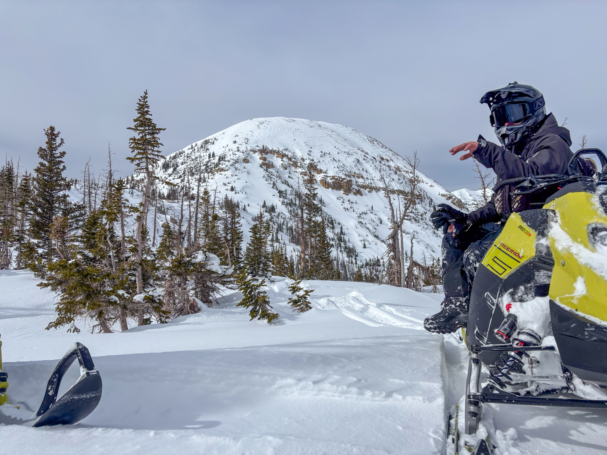 A blustery, grey-bird day in the Mirror Lake Corridor was paired with settled snow and decent docking condtions on the north half of the compass above 9,000'.
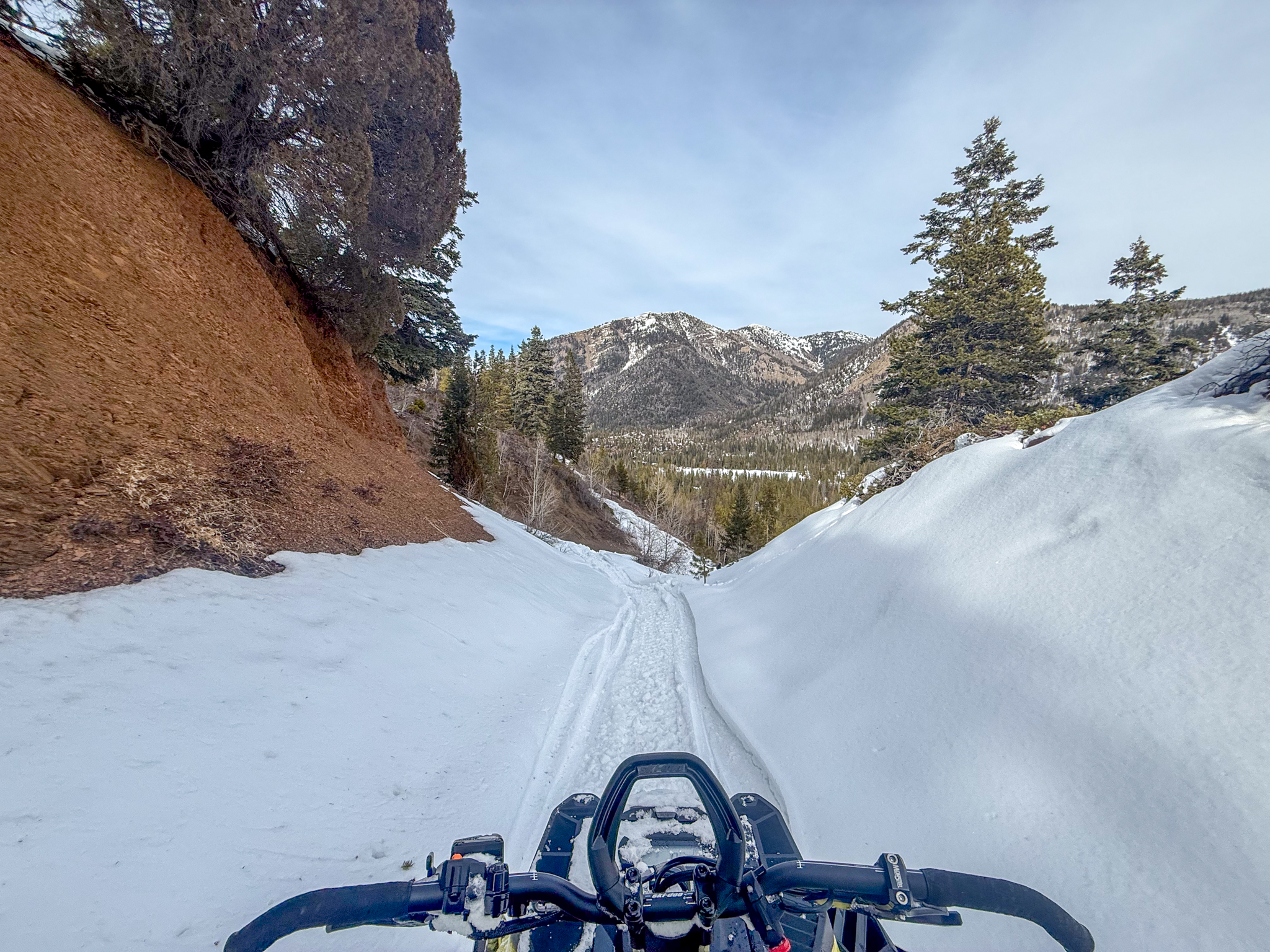 Until you get into mid-elevation terrain on the polars and above, you may be thinking you brought the wrong rig and the tracked vehicle was a poor choice. Stand-by, and stay tuned -- Things will look different soon!
Yesterday, small, natural, wind-drifted avalanches were observed in the alpine on sustained steep and rocky terrain.
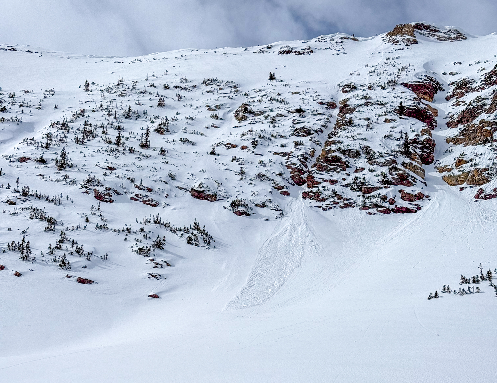
Above, a small avalanche on an east facing slope at 11,000' stacked up a decent pile of debris below the runout of the colouir (via. K.Cheston).


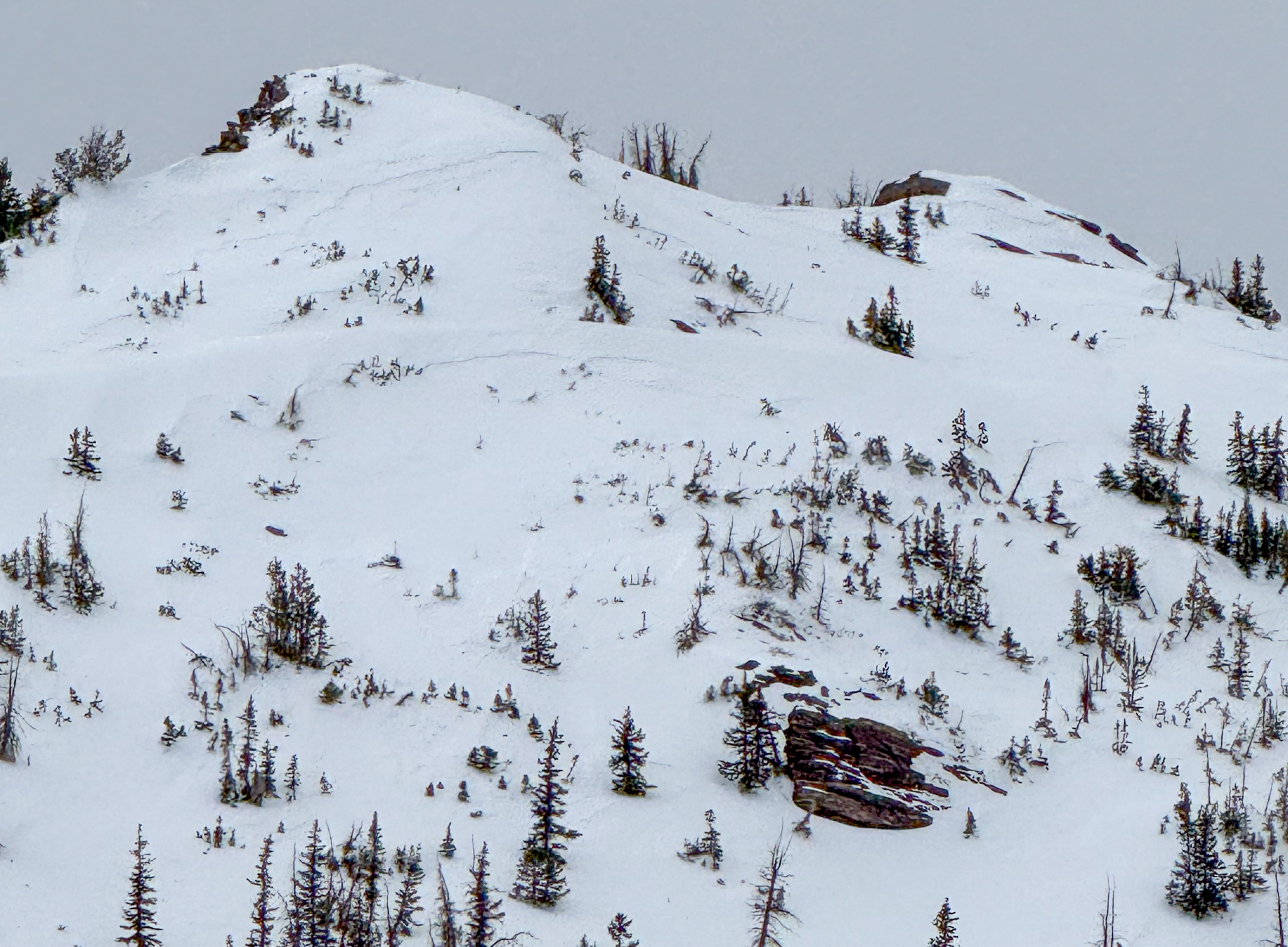 On Long Peak, small wind-slabs formed and were failing naturally during spikes in the strong southwest winds yesterday.
 Above, is a great example of a slope I am avoiding today. Adjacent to a windward, westerly facing slope, this steep and rocky east face is a textbook example of windloaded terrain -- Textured, pillowed and rounded snow on the leeward side of a ridge.
 A simplified look at the current structure, and how last weeks storm has protected and preserved the near surface facets from the January dry-spell (via K. Cheston).


