Forecast for the Uintas Area Mountains

Issued by Craig Gordon on
Saturday morning, January 5, 2019
Saturday morning, January 5, 2019
Heads up-
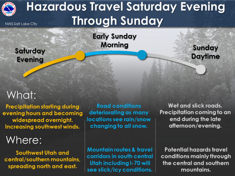
The avalanche danger will change overnight, ramping up during the day Sunday as a forecast storm begins to materialize.
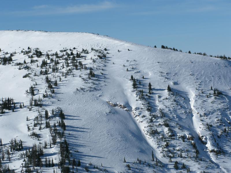
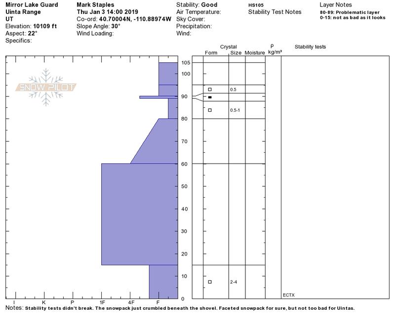
For today, while not widespread and making up a small portion of the terrain available to ride, in the wind zone, at and above treeline the avalanche danger is MODERATE. Human triggered avalanches are possible on steep slopes with recent deposits of wind drifted snow. Also... while more the exception than the rule and more pronounced in upper elevation terrain and on slopes with a thin snowpack, an avalanche triggered in steep, rocky terrain has the potential to quickly get out of hand if it breaks into deeper buried weak layers near the ground.
If you're looking for LOW avalanche danger, simply head to wind sheltered slopes with no steep terrain above or connected to where you're riding.

Low
Moderate
Considerable
High
Extreme
Learn how to read the forecast here


