Researchers Ian McCammon and Sara Boilen are developing new tools for managing human factors for backcountry skiers and boarders. This survey asks about personal experiences with human factors and will take 7 - 8 minutes to fill out. Link is HERE
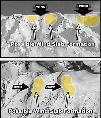
Two powerhouse storms delivered 20-30" and up to 3.35" of snow-water-equivalent to the upper Cottonwoods and 14-20" along the PC ridgeline. (With some bitterness, I think, Where were you all winter?). The cold front in the midday hours effectively kicked the door down, with lightning, graupel, heavy snow, and swirling winds. Lift chairs were on hold and people ran for cover. Temps have plummeted to the single digits and low teens, but the fly in the ointment are the winds: they remained moderate to strong out of the west-northwest through the wee hours this morning and have only barely started to lose steam.
For today, we'll see thinning clouds with skies trending blue. Temperatures will slowly warm to the upper teens to low 20s. Winds will remain from the west-northwest and drop to below 15mph by the afternoon. High pressure builds over the weekend through early next week and we'll see sunny skies, warming temps and light northwest winds.
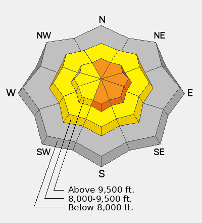
(The Ogden area mountains picked up 2-2.5" of precipitation and the Provo area mountains picked up 2.5-3.0" of precipitation with the storms.)
Bo Torrey's Week in Review is hot off the press. Get caught up on the week HERE.
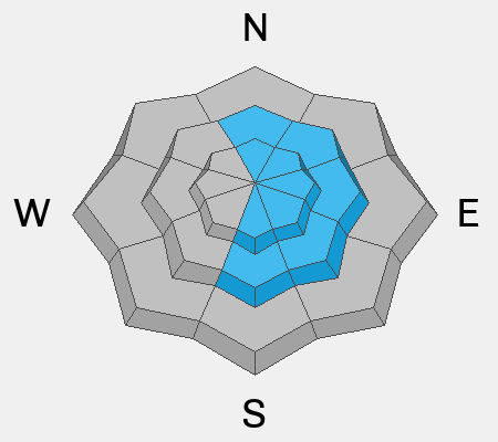
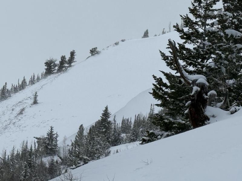
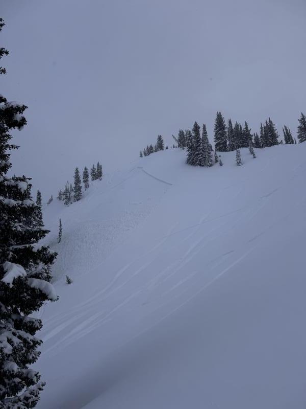
Wind and more wind. Backcountry riders triggered at least three wind slabs 1-2' deep and up to 300' wide yesterday in steep easterly facing terrain just off the ridgelines. (Rocky Point, Twin Lakes, and George's Bowl). Two and perhaps three of these soft slabs were triggered at a distance but there were no involvements. (N Burr pic below)
You can view all recent observations HERE.