Forecast for the Salt Lake Area Mountains

Trent Meisenheimer
Issued by Trent Meisenheimer on
Sunday morning, March 8, 2026

This morning, the avalanche danger is MODERATE for lingering and newly formed soft slabs of wind-drifted snow. There is also a MODERATE danger of triggering a persistent slab avalanche 2 to 5 feet deep that may fail on the Dry January Layer of faceted snow.

With strong sunshine and cold snow, expect the snow surface on steep southerly aspects to become damp and wet by mid-morning. In these areas, the avalanche danger could quickly rise to CONSIDERABLE.

Low
Moderate
Considerable
High
Extreme
Learn how to read the forecast here
Special Announcements

Avalanche Trivia is back at Hopkins Brewing on March 8th, starting at 7 PM! Bring your friends and test them on their knowledge, while giving back to the UAC. See details HERE

Weather and Snow

Under mostly clear skies, mountain temperatures this morning range from 19–24°F. The wind picked up overnight and is now blowing from the northwest at 5–15 mph across most upper elevation ridgelines. At 11,000 feet, the free air is moving a bit faster, with speeds in the 15–25 mph range.

This morning, some high clouds drift overhead as a cut-off low spins well to our south. Up above, the main jet stream remains parked to our north, keeping our wind flowing out of the west-northwest. As the morning goes on, those clouds should gradually thin and burn off, giving way to plenty of March sunshine. Mountain temperatures will climb into the low to mid 30s °F this afternoon.

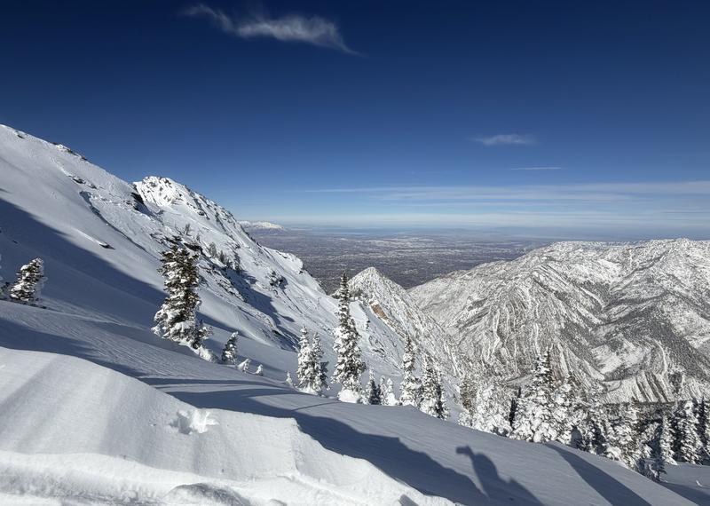
With the recent storm laying down 1 to 3 feet of new snow, riding and turning conditions are about as good as they get right now. Expect southerly-facing terrain to hold a crust this morning that should soften as the day warms and the sun does its work. Shady aspects continue to hold dry, cold snow.

Recent Avalanches

Yesterday, one notable human-triggered avalanche was reported in upper Mineral Fork in the Room of Doom (pic below). It appears to have been a soft wind slab roughly 2 feet deep and about 150 feet wide, running nearly 1,000 vertical feet down the slope. It sounds like the rider triggered the avalanche, deployed their airbag, and skied off the slab. Nobody was caught.

It was also a great day for avalanche sightseeing, with many people sending in photos of large, well-connected avalanches across the range. A few notable ones include Coal Pit, Stairs, Ice Box, and Blue Ice.

Photo: Matt B showing the tracks leading into the avalanche in Room of Doom.

Avalanche Problem #1
Wind Drifted Snow
Type
Location
Likelihood
Size
Description

In mid and upper-elevation terrain, look for smooth, rounded pillows of wind-drifted snow on the lee sides of ridges, sub-ridges, and other terrain features. These drifts often appear chalky, hollow, or textured compared to the surrounding snow. These lingering wind slabs can pack a punch and may break deeper and wider than expected, as seen with the Room of Doom avalanche above.

With an increase in northwest wind, be especially cautious of fresh drifts just off ridgelines and below cornices. Watch for cracking or collapsing in the snow around your skis, board, or sled - clear signs that the wind-drifted snow is unstable.

Avalanche Problem #2
Wet Snow
Type
Location
Likelihood
Size
Description

As the strong March sun hits the cold snow, expect a rapid transition from dry powder to damp and wet conditions. In steep solar terrain, wet loose avalanches could entrain a surprising amount of snow and run fast and far on the slick crusts beneath.

This time of year, the avalanche danger can rise quickly through the day, moving from LOW to MODERATE and even CONSIDERABLE as the snow surface warms. Once the snow becomes damp and you start seeing rollerballs or pinwheels forming, it’s a good sign the snowpack is losing strength. That’s your cue to move off steep south-facing slopes and head for cooler aspects or lower-angle terrain.

Avalanche Problem #3
Persistent Weak Layer
Type
Location
Likelihood
Size
Description

The Dry January Layer (DJL) of facets is now buried 2–4 feet deep beneath a hard slab of settled snow and crusts. Human-triggered avalanches failing on this layer have been quiet since February 26, and recent snowpit tests suggest it’s becoming stubborn to trigger. That said, this layer still has the potential to produce a large and dangerous avalanche if it does fail.

The most likely trigger points remain steep, shallow, rocky slopes at the upper elevations facing west through north through east. These thinner areas of the snowpack can allow a rider to punch through the slab and collapse the weak layer beneath. Stairs Gulch is a good example of the type of terrain where an avalanche could break deeper into the snowpack.

General Announcements

This information does not apply to developed ski areas or highways where avalanche control is normally done. This forecast is from the U.S.D.A. Forest Service, which is solely responsible for its content. This forecast describes general avalanche conditions and local variations always occur.