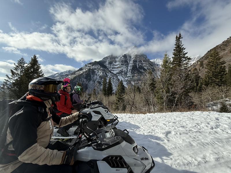
Forecast for the Provo Area Mountains

Issued by Nikki Champion on
Saturday morning, January 31, 2026
Saturday morning, January 31, 2026
The overall avalanche danger remains LOW, and normal caution is advised.
Today, you may be able to trigger dry loose snow sluffs on steep north-facing terrain. Any dry loose sluff could gouge into older faceted snow, entraining more snow than expected and leaving larger debris piles.
Pay attention to the bump in winds. At the highest elevations, you may also encounter shallow slabs of wind-drifted snow in lee terrain.

Low
Moderate
Considerable
High
Extreme
Learn how to read the forecast here