Forecast for the Provo Area Mountains

Issued by Bo Torrey on
Wednesday morning, January 14, 2026
Wednesday morning, January 14, 2026
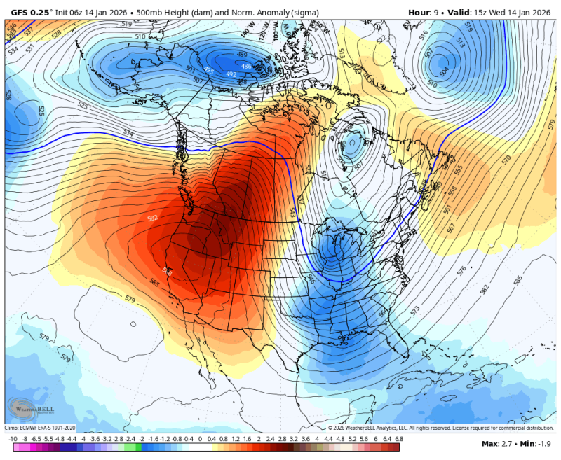
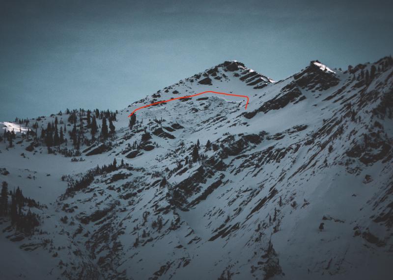
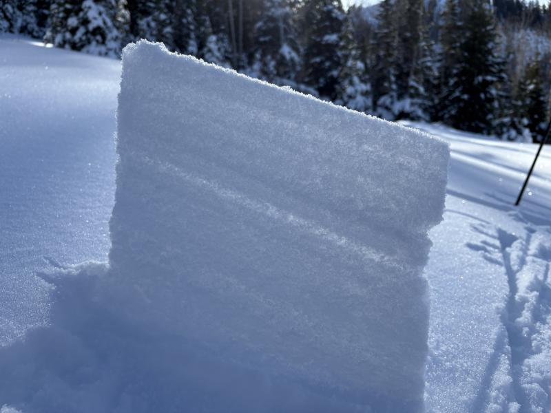
Upper elevation slopes have a MODERATE danger with two avalanche types. First, large, dangerous avalanches may still be triggered in steep, rocky, and shallow terrain facing W-N-E. These hard slabs are failing 2-5 feet deep on a persistent weak layer. Second, watch for stiff slabs of wind-drifted snow on W-S-E aspects. These drifts are common on cross-loaded features and may break above you.
Avalanche danger is LOW elsewhere. Small but predictable wet loose avalanches may release during the day on sunny slopes with daytime warming. Avoid terrain traps, like gullies or cliffs, where being caught in a small avalanche would have outsized consequences.

Low
Moderate
Considerable
High
Extreme
Learn how to read the forecast here