Forecast for the Ogden Area Mountains

Issued by Drew Hardesty on
Thursday morning, February 5, 2026
Thursday morning, February 5, 2026
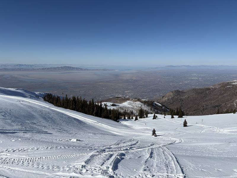
The avalanche danger remains LOW. With skyrocketing temperatures today, you may trigger shallow wet loose sluffs in steep sunny terrain. On the colder side of the compass, you may trigger longer running loose dry sugar-sluffs that are increasingly packing a punch. Remember that risk is inherent in mountain travel.
Note that the grey on low elevation solar aspects indicates that there is little to no snow in this terrain.

Low
Moderate
Considerable
High
Extreme
Learn how to read the forecast here