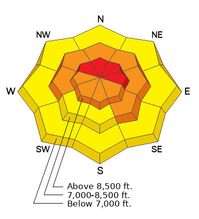
Avalanche Warning
What: The avalanche danger for the warning area is HIGH today.
Where: The mountains of northern, central, southwestern, and southeastern Utah, including the Abajo Range, as well as southeastern Idaho.
Impacts: Recent heavy snow combined with strong wind has created widespread areas of unstable snow. Both human-triggered and natural avalanches are likely.
What to do: Avoid all avalanche terrain. Stay off of and out from under slopes steeper than 30°. Carry and know how to use avalanche rescue equipment. Find safer riding conditions on slopes less than 30° with no overhead hazard
Warning Times: Thursday, 2/19/26 at 6:00 AM MST through 6:00 AM MST Friday, 2/20/26
Avalanche Warning vs. Watch: The UAC upgraded our Avalanche WATCH to our first Avalanche WARNING of the season today. An Avalanche WARNING, the most severe avalanche alert product we have, is issued when large avalanches are certain or very likely in many areas and when unusually dangerous avalanche conditions exist. More info on each of these from Bruce Tremper and Drew Hardesty HERE.
Since Monday evening, an impressive series of storms has moved through the state. Yesterday, the flow briefly shifted to northwest, which again favored northern ranges, producing about 12 inches of new snow, before returning to southwest by midday. Heavy snow and strong winds persisted through most of the day, tapering off through the night, with the bulk of precipitation falling between 5 AM and 5 PM. Final storm totals as of this morning are:
Today, the storm has moved out, leaving a few light showers this morning, but we can little accumulation. Snowfall should stay under an inch during the day. Temperatures will climb into the upper teens, with southwesterly winds blowing 10 to 15 mph along most upper-elevation ridgelines, gusting to 25 mph and up to 35 mph at the highest peaks.
Another system arrives this evening, mainly impacting central and southern Utah, with northern Utah on the edge and likely seeing lower totals. Snow should begin between 6 and 10 pm, with the best chance for steadier snowfall Friday afternoon before drying out Friday night. This next flow will likely dip a bit too far south to impact much of the Ogden region, but if it does it will be on the later end of the storm and give just a few inches.
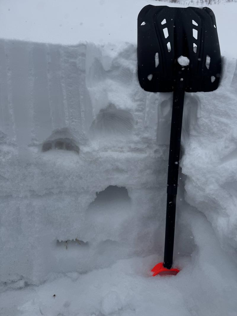
In the Ogden area, conditions have been active, though no recent avalanches were reported from the backcountry. Ski resorts and guide services noted strong winds and heavy snowfall, with precipitation rates at times up to 2 inches per hour. Snow depths felt deeper than boards suggested, likely due to wind redistribution.
Multiple wind slabs were triggered on N-NE aspects from overnight SW winds, and soft slabs were widespread across all elevations and aspects from heavy precipitation. Avalanches continued to occur on the January persistent weak layer, including on northerly slopes around 8,000' that had previously been mitigated. Natural avalanche activity remained limited during the day, but the slopes remain reactive.
You can view all recent observations here.