Join the UAC for the first "Stay and Play Avalanche Course" at Bear River Lodge in the Uintas, March 19th-22nd. This course is designed for snowmobilers by snowmobilers, where you will learn avalanche rescue, riding skills, and how to survive in the backcountry. Come enjoy all the luxury offerings at Bear River Lodge and improve your skills along the way. Find more info HERE.
Overnight, clouds moved in, temperatures warmed, and the wind blowing from the southwest increased.
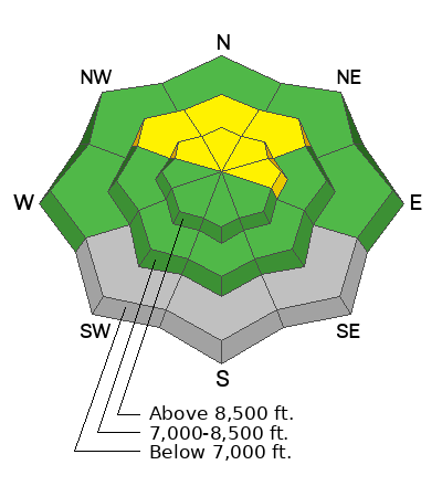
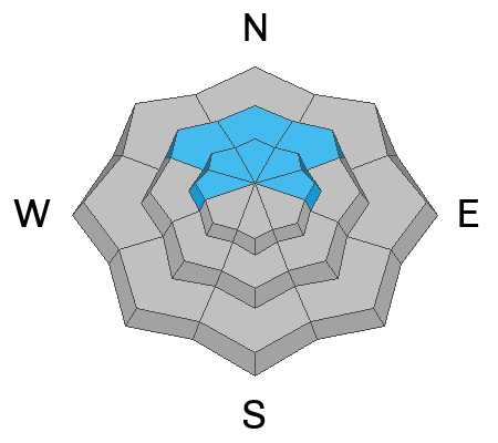
This morning, skies are mostly cloudy, with air temperatures hovering around 32 °F at 8500 feet. Winds are blowing out of the southwest 20-30 mph with gusts reaching into the 50s mph along the Wasatch crest and 15-25 mph with gusts in the upper 30s mph near Powder Mountain.
Today, we’ll see mostly cloudy skies, daytime temperatures reaching the upper 30s or low 40s °F, and winds blowing from the southwest remain steady at 15-30 mph with gusts in the 40s mph.
Outlook: A significant winter storm arrives late Monday, bringing the first in a series of powerful systems. By Thursday, storm totals could reach 30+ inches of snow with 2.0-3.0” SWE. Expect very strong winds from the southwest. Heavy snowfall and strong winds, combined with a preexisting weak layer from the January dry spell, will create very dangerous backcountry avalanche conditions.
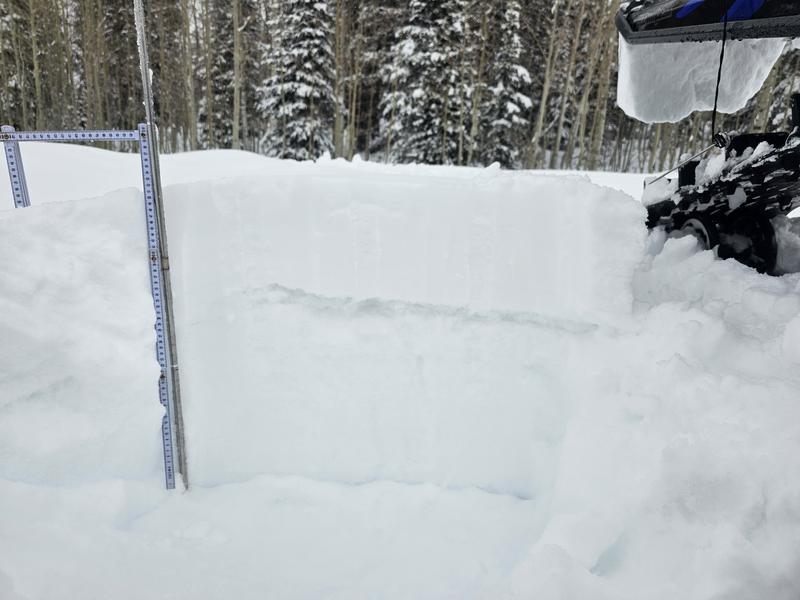
Yesterday, Pro UAC observer, Derek DeBruin was out near Cutler Ridge and found 8 to 10 inches of recent storm snow above the layer of facets from the January dry spell. He noted half a dozen localized collapses and several small wet-loose avalanches. You view his entire observation HERE.
Pro observer, Michael Davis, was near Monte Cristo on Friday and found sensitive conditions with recent avalanches, cracking, collapsing, and unstable snowpack tests. You can view his observation HERE.

A small, 12 inche deep, soft slab avalanche that failed on weak faceted snow from the January dry spell.
You can view all recent observations here.