Forecast for the Ogden Area Mountains

Issued by Greg Gagne on
Monday morning, January 12, 2026
Monday morning, January 12, 2026
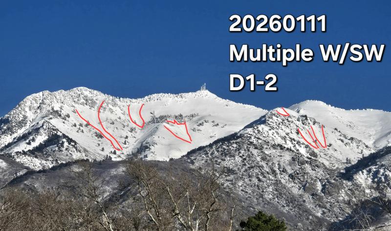
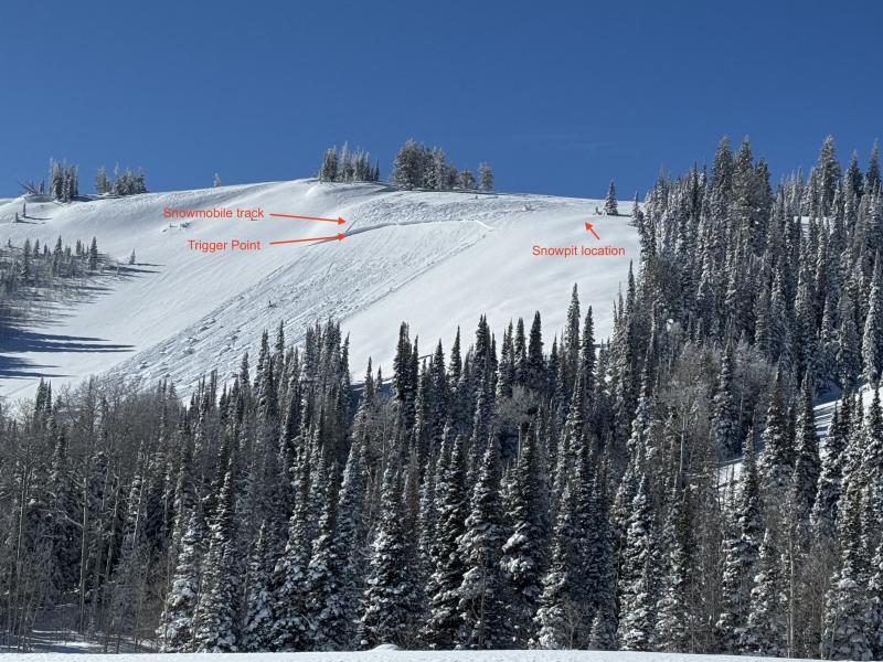
There is a MODERATE avalanche danger at the upper elevations and on sunny, mid-elevation slopes where human-triggered avalanches are possible. Avalanches may involve recent wind drifted snow at the upper elevations and sluffing in wet snow on sunny slopes and in dry snow on steep northerly slopes.

Low
Moderate
Considerable
High
Extreme
Learn how to read the forecast here