Forecast for the Logan Area Mountains

Toby Weed
Issued by Toby Weed on
Monday morning, March 30, 2026

Due to the rapid and early melt-off, we've stopped issuing daily forecasts for the season. Stay tuned to this channel, as we’ll continue to share snow observations, avalanche information, and condition updates.

Low
Moderate
Considerable
High
Extreme
Learn how to read the forecast here
Weather and Snow

The weather may have the upper hand, and we’re beginning to wind things down for the season, but it’s been a memorable ride. Access has become incredibly challenging, yet it’s always a good reminder of how dynamic these seasons can be. It’s hard to imagine those banner years when we’ve ridden into June—but we know they'll come around again. This season will stand out for many reasons, and we hope you were able to get out, spend time in the mountains, and enjoy the snow we did have. Thank you to our backcountry community for your continued support—we truly couldn’t do this work without you. And a huge thank you to Ski-Doo; your generous support makes what we do possible.

The black line says it all. Tony Grove actually looks good compared to the state, which isn't saying much.

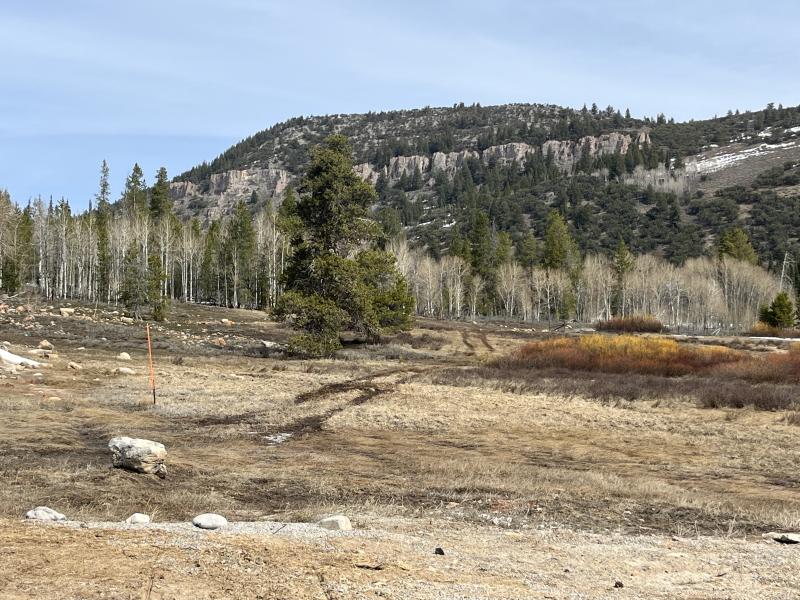
Though the snow has been unsupportable, eventually, we’ll transition to a classic summer corn cycle, with firmer mornings and smooth “firn” riding—assuming the snow sticks around long enough. For now, though, temperatures are staying above freezing, and the snowpack remains saturated. Travel is slow and unpredictable, with collapsing and postholing likely to test your patience. You might find that hopping on a bike or heading to the river is the better call these days.

Today and tomorrow will be warm and windy, with a storm system moving into the zone on Tuesday. Right now, it appears to be more bark than bite, but as usual in April, the mountains could get a few inches of snow.

Video of our travels (trials and tribulations, really) on Thursday,

Recent Avalanches

Numerous wet avalanches have been reported across the Logan zone over the past week. These avalanches have been large enough to carry a person into consequential terrain or even bury them. Observer Greg Davis found a very large debris pile in Smithfield Dry yesterday. We believe the avalanche occurred around 3/19-20.

Find avalanches and observations from the Logan zone and across the state HERE. (PC: Davis)

Avalanche Problem #1
Wet Snow
Type
Location
Likelihood
Size
Description

Temperatures stayed well above freezing last night, and the snowpack is mostly unsupportable. As the day warms, watch for active roller balls that indicate the snow is losing strength. Loose wet and wet slab avalanches are possible and may run long distances.

  • If you're sinking into the snow above your ankles, or you're seeing active roller balls, move to shadier slopes or lower-angle terrain.
  • Pay attention to and avoid terrain traps below you, such as gullies or cliffs, where even a small avalanche can have severe consequences.
  • As temperatures climb throughout the day, avoid being on or under steep slopes.

The avalanche in Smithfield Dry from about a week ago is a great example of just how far wet avalanches can run. The deep debris pile ran all the way down to the canyon bottom, where people frequently hike. (PC: Davis)

Additional Information

Swan Flats TH 3/27/26. See my ob about access HERE.

  • Travel with a partner, and cross or ride slopes steeper than 30 degrees one at a time while the rest of your group watches from a safe spot.
  • Ensure that everyone in the group has avalanche rescue equipment (a transceiver, probe, and shovel) and knows how to use it.

-----------------------------------------------------------------------------------------------------------------------------------------------------------------

For all questions on forecasts, education, Know Before You Go, events, online purchases, or fundraising, call 801-365-5522.

Did you know the UAC hosts a podcast? Episode 2 of Season IX is just out - AI, Machine Learning, and the Value of Expert Intuition at the Utah Avalanche Center.

Are you interested in learning more about avalanches? Visit our education page for details on all our classes.

For more information, visit the UAC weather page here: UAC Weather Page For Logan-specific weather, go here: Logan Mountain Weather

-Remember, the information you provide could save lives, especially if you see or trigger an avalanche. To report an avalanche or submit an observation from the backcountry, go HERE

-Receive forecast region-specific text message alerts to receive messages about changing avalanche conditions, watches, and warnings. Sign up and update your preferences HERE

This forecast is from the U.S.D.A. Forest Service, which is solely responsible for its content. This forecast describes general avalanche conditions and local variations always occur.

General Announcements
This information does not apply to developed ski areas or highways where avalanche control is normally done. This forecast is from the U.S.D.A. Forest Service, which is solely responsible for its content. This forecast describes general avalanche conditions and local variations always occur.