The holiday season is right around the corner!! Looking for that special something for your partner?
Well, we've got an easy shopping solution for you ...Buy your gifts at our Pray for Snow online auction and support the UAC in Logan.
HEREFinally, I can report a change in the weather. No huge storm, but a dry cold front will pass over the zone this evening and tonight, and it should be enough to mix out the stagnant air in Cache and Bear Lake valleys. Another, slightly moister front will bring up to about 1 inch of snow to the mountains tomorrow. A more active weather pattern is expected to continue next week.
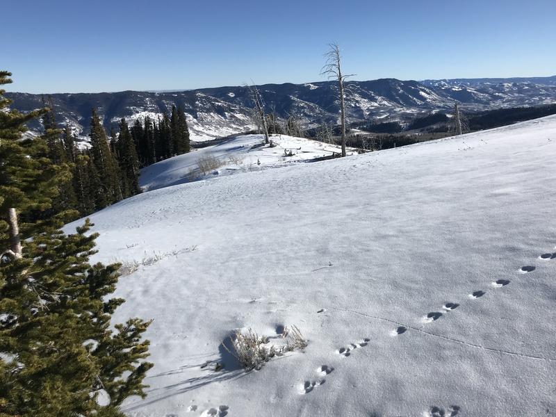
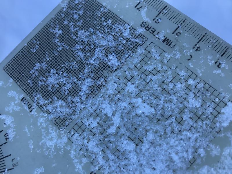
Currently, hitting rocks or other shallowly buried obstacles presents a significant hazard in the backcountry. Most slopes have less than about 2' of total snow, and a steep temperature gradient is turning the shallow snow into loose sugary or faceted grains. In many places, the weak snow is easy to punch through to the rocks below.
Beware of very shallow early season snow conditions in the backcountry.
The shallow snow is becoming weak and sugary or faceted, especially in the top 20 cms of the snowpack.
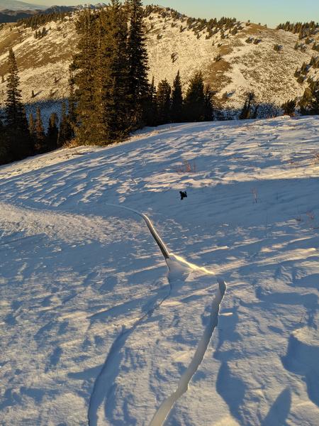
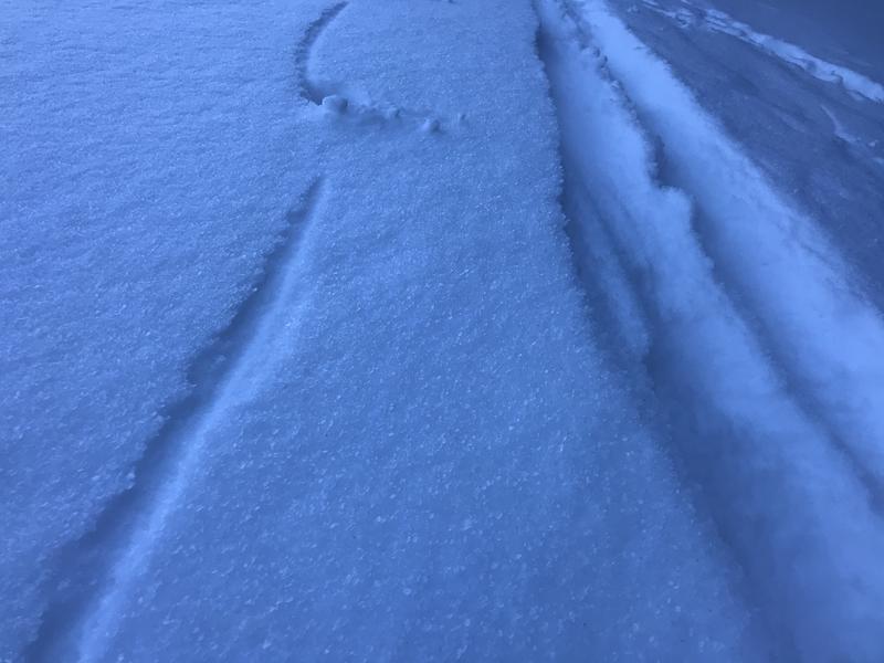
Saturday, a skier skinning up "Goal Post" avalanche path in Logan Dry Canyon triggered extensive and deep shooting cracks in the starting zone. "cracks to the ground shooting hundreds of feet in multiple directions" A stiff drift formed on well developed facets in this classic north facing deposition area, downwind from a large open lower angled fetch. Where it cracked, the slope was not very steep and the slab did not extend very far down into the avalanche path.
Shooting cracks like these are a red flag indicating unstable snow.